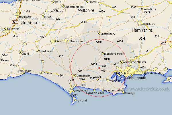
Dorset Map Showing Location of Winterborne Kingston
Population: 613
District: North Dorset
Easting: 385897 Northing: 96428
Latitude: 50.77 Longitude: -2.2
 = Winterborne Kingston
District: North Dorset
Easting: 385897 Northing: 96428
Latitude: 50.77 Longitude: -2.2
= Winterborne Kingston
This Winterborne Kingston map below is supplied by Google. Use the tools in the top left corner to zoom into street level or zoom out for a road map, you may also need to zoom in to see Winterborne Kingston on the map. Click and drag the map to move around. If the map fails to load try and refresh your browser or zoom in or out (+ or -).
Update - it seems Google no longer allow people to use their maps for free! This Winterborne Kingston map sometimes loads and sometimes gives a error. I am working on a solution.
Closest 30 Towns or Cities to Winterborne Kingston (Population over 500)
Bere Regis 2.2km Whitechurch 4.38km Milborne St Andrew 5.86km Milborne 5.86km Milborne Saint Andrew 5.86km Milborne St. Andrew 5.86km Milton Abbas 6.93km Winterborne Stickland 7.77km Stickland Winterborne 7.77km Spetisbury 8.07km Bovington Camp 8.21km Wool 8.97km Sturminster Marshall 9.55km Lytchett Matravers 9.56km Holton Heath 9.91km Holton Heath Station 9.91km Puddletown 10.71km Piddletown 10.71km Wareham 10.97km Blandford 11.36km Blandford Forum 11.36km Corfe Mullen 11.86km Stourpaine 12.96km Pimperne 13.78km Winfrith 13.8km Winfrith Newburgh 13.8km Tarrant Monkton 13.81km Arne 13.88km Poole 15.13km Shillingstone 15.23km