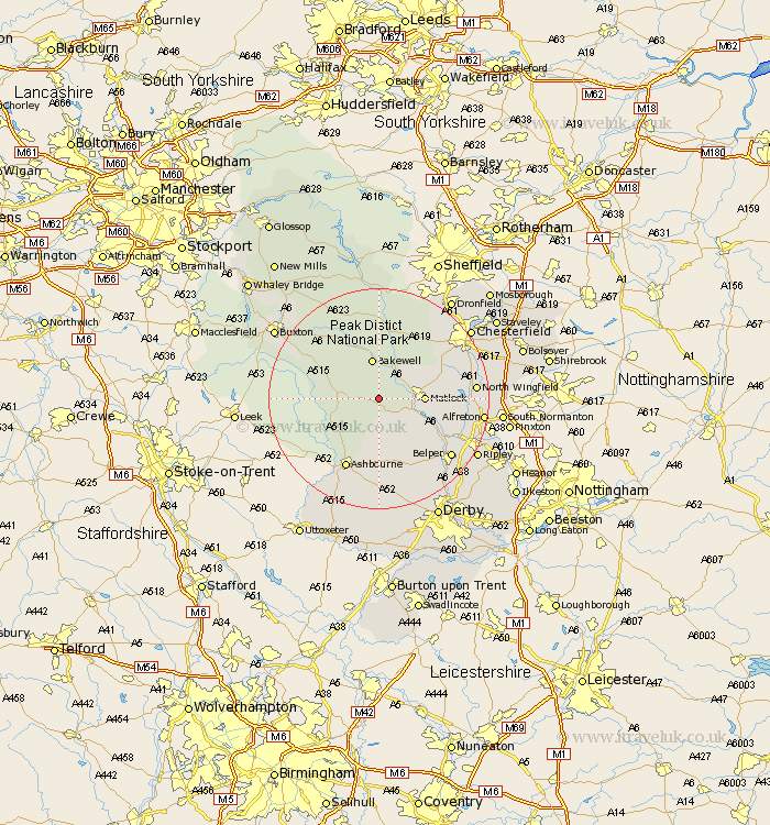
Derbyshire Map Showing Location of Winster
Population: 633
District: Derbyshire Dales
Easting: 423413 Northing: 359660
Latitude: 53.13 Longitude: -1.65
 = Winster
District: Derbyshire Dales
Easting: 423413 Northing: 359660
Latitude: 53.13 Longitude: -1.65
= Winster
This Winster map below is supplied by Google. Use the tools in the top left corner to zoom into street level or zoom out for a road map, you may also need to zoom in to see Winster on the map. Click and drag the map to move around. If the map fails to load try and refresh your browser or zoom in or out (+ or -).
Update - it seems Google no longer allow people to use their maps for free! This Winster map sometimes loads and sometimes gives a error. I am working on a solution.
Closest 30 Towns or Cities to Winster (Population over 500)
Bonsall 4.82km Youlgreave 4.99km Darley Dale 4.99km Brassington 5.56km Middleton 5.79km Cromford 6.68km Matlock Bath 7.09km Bakewell 7.5km Matlock 7.78km Wirksworth 7.87km Tansley 8.9km Baslow 11.34km Great Longstone 11.61km Longstone 11.61km Ashover 11.72km Crich 12.44km Ashbourne 14.11km Ambergate Junction Station 14.48km Ambergate 14.48km Stony Middleton 14.83km Stoney Middleton 14.83km Brampton 14.95km Old Brampton 14.95km Walton 15.34km Wingfield 15.5km South Wingfield 15.5km Stretton 15.57km Clay Cross 15.67km Wingerworth 16.24km Clifton 16.26km