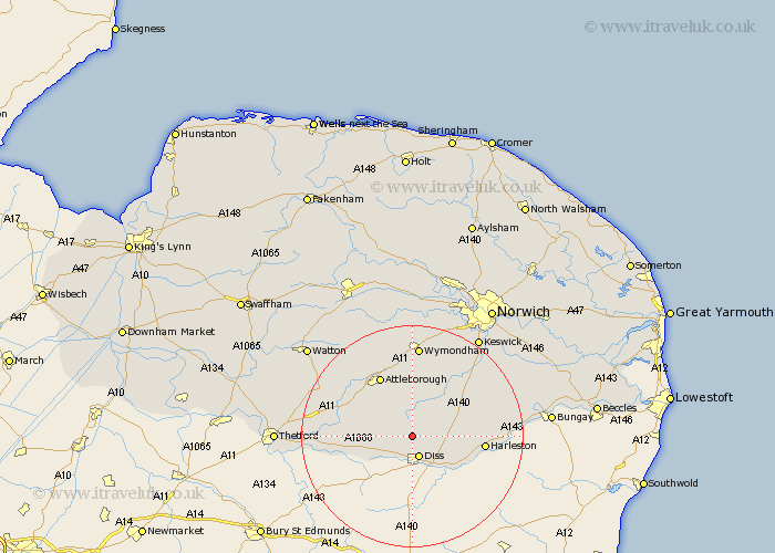
Norfolk Map Showing Location of Winfarthing
Population: 403
District: South Norfolk
Easting: 610788 Northing: 284418
Latitude: 52.42 Longitude: 1.1
 = Winfarthing
District: South Norfolk
Easting: 610788 Northing: 284418
Latitude: 52.42 Longitude: 1.1
= Winfarthing
This Winfarthing map below is supplied by Google. Use the tools in the top left corner to zoom into street level or zoom out for a road map, you may also need to zoom in to see Winfarthing on the map. Click and drag the map to move around. If the map fails to load try and refresh your browser or zoom in or out (+ or -).
Update - it seems Google no longer allow people to use their maps for free! This Winfarthing map sometimes loads and sometimes gives a error. I am working on a solution.
Closest 30 Towns or Cities to Winfarthing (Population over 500)
Burston 3.87km Diss 3.88km Roydon 5.56km Banham 5.84km Bressingham 5.85km North Lopham 7.03km Scole 7.17km Bunwell 7.74km Great Moulton 7.93km Moulton 7.93km Moulton St. Michael 7.93km Moulton St Michael 7.93km Moulton Saint Michael 7.93km Kenninghall 8.12km Old Buckenham 8.14km Quidenham 8.73km Pulham 10.17km Garboldisham 10.83km East Harling 11.45km Forncett 11.48km Forncett St Mary 11.48km Forncett Saint Mary 11.48km Forncett St. Mary 11.48km Long Stratton 11.68km Besthorpe 12km Attleborough 12.47km Harleston 12.57km Brockdish 12.6km Harling 13.56km Ashwellthorpe 14.14km