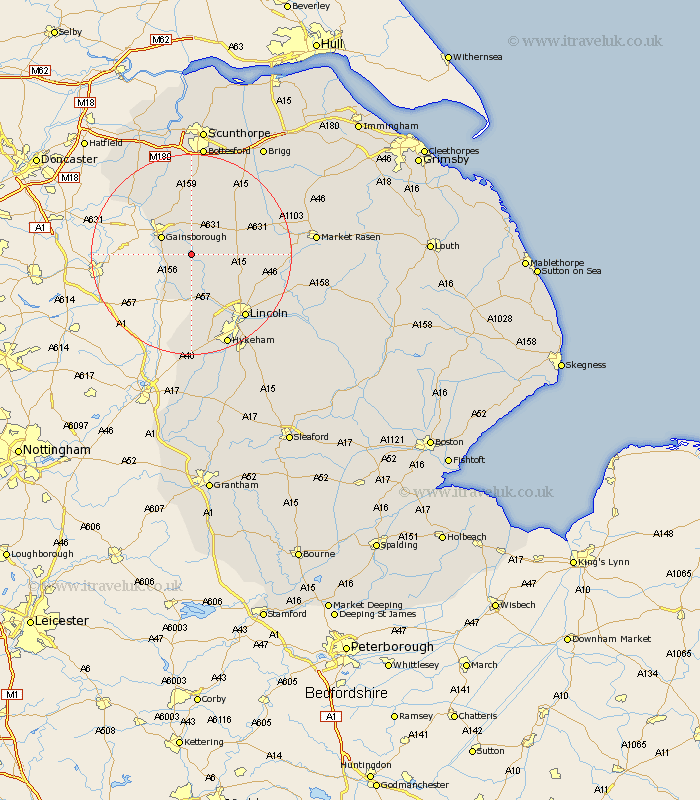
Lincolnshire Map Showing Location of Willingham
Population: 524
District: West Lindsey
Easting: 487635 Northing: 384516
Latitude: 53.35 Longitude: -0.68
 = Willingham
District: West Lindsey
Easting: 487635 Northing: 384516
Latitude: 53.35 Longitude: -0.68
= Willingham
This Willingham map below is supplied by Google. Use the tools in the top left corner to zoom into street level or zoom out for a road map, you may also need to zoom in to see Willingham on the map. Click and drag the map to move around. If the map fails to load try and refresh your browser or zoom in or out (+ or -).
Update - it seems Google no longer allow people to use their maps for free! This Willingham map sometimes loads and sometimes gives a error. I am working on a solution.
Closest 30 Towns or Cities to Willingham (Population over 500)
Lea 4.8km Marton 4.97km Gainsborough 6.65km Gainesborough 6.65km Ingham 6.89km Torksey 8.13km Morton 8.66km Blyton 9.52km Saxilby 9.52km Scrampton 9.54km Scampton 9.54km Scotton 13.16km Skellingthorpe 13.71km Kirton 14.1km Kirton in Lindsey 14.1km Welton 14.4km Scotter 14.86km Dunholme 15.43km Dunholm 15.43km Waddingham 15.68km Owston 15.82km Owston Ferry 15.82km Nettleham 16.2km Lincoln 16.36km North Scarle 17.01km Scothern 17.18km Haxey 17.85km Sudbrooke 18.06km Eagle 18.54km Thorpe 18.83km