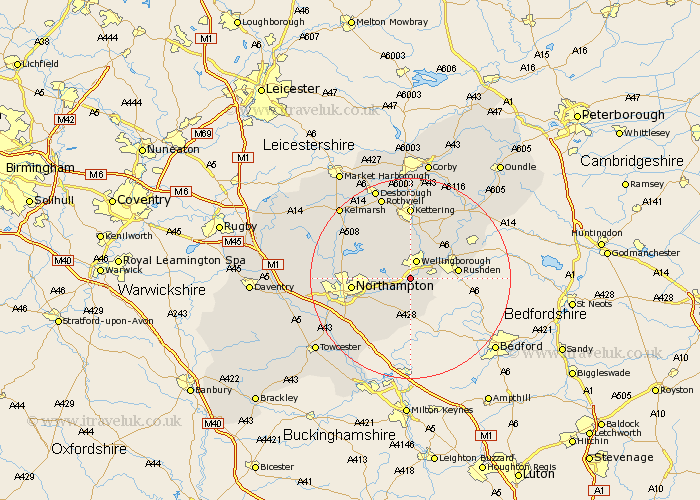
Northamptonshire Map Showing Location of Wilby
Population: 621
District: Wellingborough
Easting: 487566 Northing: 263990
Latitude: 52.27 Longitude: -0.72
 = Wilby
District: Wellingborough
Easting: 487566 Northing: 263990
Latitude: 52.27 Longitude: -0.72
= Wilby
This Wilby map below is supplied by Google. Use the tools in the top left corner to zoom into street level or zoom out for a road map, you may also need to zoom in to see Wilby on the map. Click and drag the map to move around. If the map fails to load try and refresh your browser or zoom in or out (+ or -).
Update - it seems Google no longer allow people to use their maps for free! This Wilby map sometimes loads and sometimes gives a error. I am working on a solution.
Closest 30 Towns or Cities to Wilby (Population over 500)
Great Doddington 1.13km Doddington 1.13km Earls Barton 2.93km Wellingborough 3.87km Wollaston 3.88km Whiston 4.35km Sywell 4.9km Irchester 5.67km Bozeat 6.52km Overstone 7.05km Great Billing 7.06km Billing 7.06km Yardley Hastings 7.5km Denton 8.16km Moulton 9.26km Rushden 9.26km Finedon 9.33km Isham 9.33km Irthlingborough 9.69km Houghton 9.7km Great Houghton 9.7km Higham Ferrers 9.8km Burton Latimer 9.87km Walgrave 10.06km Northampton 11.49km Hackleton 11.51km Broughton 11.63km Pitsford 11.93km Boughton 12.61km Stanwick 12.63km