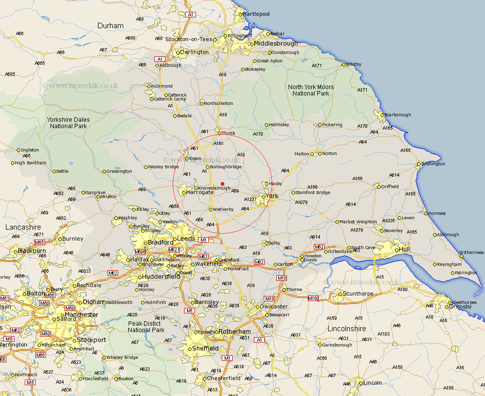
Yorkshire Map Showing Location of Whixley
Population: 735
District: Harrogate
Easting: 444769 Northing: 458091
Latitude: 54.02 Longitude: -1.32
 = Whixley
District: Harrogate
Easting: 444769 Northing: 458091
Latitude: 54.02 Longitude: -1.32
= Whixley
This Whixley map below is supplied by Google. Use the tools in the top left corner to zoom into street level or zoom out for a road map, you may also need to zoom in to see Whixley on the map. Click and drag the map to move around. If the map fails to load try and refresh your browser or zoom in or out (+ or -).
Update - it seems Google no longer allow people to use their maps for free! This Whixley map sometimes loads and sometimes gives a error. I am working on a solution.
Closest 30 Towns or Cities to Whixley (Population over 500)
Green Hammerton 2.15km Ouseburn 3.7km Great Ouseburn 3.7km Hammerton 3.87km Kirk Hammerton 3.87km Linton 4.73km Linton-on-Ouse 4.73km Linton on Ouse 4.73km Linton upon Ouse 4.73km Marton le Moor 6.45km Marton 6.45km Newton 6.79km Newton upon Ouse 6.79km Tollerton 8.58km Boroughbridge 9.19km Alne 9.19km Long Marston 9.2km Knaresborough 9.98km Rufforth 10.64km Shipton 11.04km Thorp Arch 11.17km Thorpe Arch 11.17km Wetherby 11.94km Skelton 12.12km Poppleton 12.23km Upper Poppleton 12.23km Boston Spa 13.16km Burton Leonard 13.2km Easingwold 13.48km Raskelf 13.68km