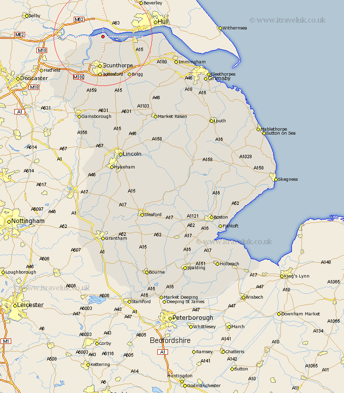
Lincolnshire Map Showing Location of Whitton
Population: 171
Easting: 490216 Northing: 423510
Latitude: 53.7 Longitude: -0.63
 = Whitton
Easting: 490216 Northing: 423510
Latitude: 53.7 Longitude: -0.63
= Whitton
This Whitton map below is supplied by Google. Use the tools in the top left corner to zoom into street level or zoom out for a road map, you may also need to zoom in to see Whitton on the map. Click and drag the map to move around. If the map fails to load try and refresh your browser or zoom in or out (+ or -).
Update - it seems Google no longer allow people to use their maps for free! This Whitton map sometimes loads and sometimes gives a error. I am working on a solution.
Closest 30 Towns or Cities to Whitton (Population over 500)
Winteringham 2.87km Winterton 5.98km Burton upon Stather 6.46km Burton 6.46km South Ferriby 9.53km Flixborough 9.83km Appleby 10.25km Keadby 12.93km Scunthorpe 13.02km Gunhouse 14.55km Gunness 14.55km Broughton 15.81km Crowle 16.42km Barrow on Humber 16.56km Barrow-upon-Humber 16.56km Barrow-on-Humber 16.56km Barrow upon Humber 16.56km Barrow 16.56km Burringham 16.7km Bottesford 16.72km New Holland 17.55km West Butterwick 18.37km Wrawby 18.45km Messingham 18.57km Brigg 19.39km Scawby 19.67km Goxhill 20.1km Belton 20.6km Barnetby 21.36km Barnetby le Wold 21.36km