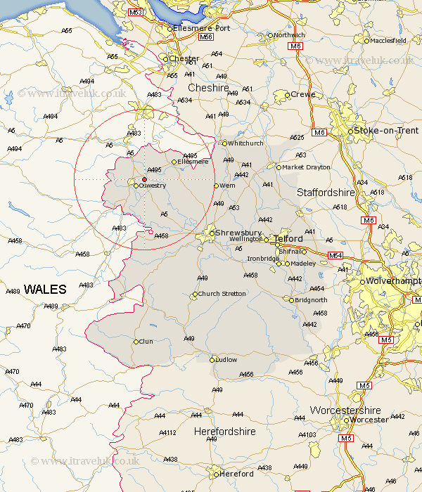
Shropshire Map Showing Location of Whittington
Population: 2490
District: Oswestry
Easting: 332690 Northing: 330417
Latitude: 52.87 Longitude: -3
 = Whittington
District: Oswestry
Easting: 332690 Northing: 330417
Latitude: 52.87 Longitude: -3
= Whittington
This Whittington map below is supplied by Google. Use the tools in the top left corner to zoom into street level or zoom out for a road map, you may also need to zoom in to see Whittington on the map. Click and drag the map to move around. If the map fails to load try and refresh your browser or zoom in or out (+ or -).
Update - it seems Google no longer allow people to use their maps for free! This Whittington map sometimes loads and sometimes gives a error. I am working on a solution.
Closest 30 Towns or Cities to Whittington (Population over 500)
St. Martins 2.71km Saint Martins 2.71km St Martins 2.71km Gobowen 2.9km Oswestry 2.91km West Felton 5.67km Selattyn 6.71km Kinnerley 9.34km Ellesmere 9.6km Cockshut 10.24km Cockshutt 10.24km Pant 10.3km Welshampton 10.72km Baschurch 12.89km Llanyblodwel 12.89km Great Ness 12.99km Loppington 14.54km Alberbury 17.01km Wem 19.11km Bicton 19.29km Whixall 19.37km Ford 19.49km Westbury 20.67km Hadnall 22.05km Prees 22.45km Precs 22.45km Hanwood 23.83km Great Hanwood 23.83km Whitchurch 23.97km Stanton upon Hine Heath 24.16km