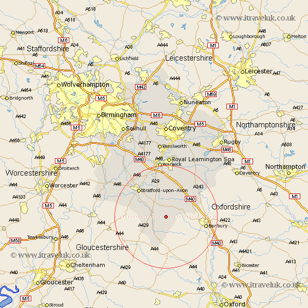
Warwickshire Map Showing Location of Whatcote
Population: 153
District: Stratford-on-Avon
Easting: 430832 Northing: 242913
Latitude: 52.08 Longitude: -1.55
 = Whatcote
District: Stratford-on-Avon
Easting: 430832 Northing: 242913
Latitude: 52.08 Longitude: -1.55
= Whatcote
This Whatcote map below is supplied by Google. Use the tools in the top left corner to zoom into street level or zoom out for a road map, you may also need to zoom in to see Whatcote on the map. Click and drag the map to move around. If the map fails to load try and refresh your browser or zoom in or out (+ or -).
Update - it seems Google no longer allow people to use their maps for free! This Whatcote map sometimes loads and sometimes gives a error. I am working on a solution.
Closest 30 Towns or Cities to Whatcote (Population over 500)
Church Tysoe 3.42km Middle Tysoe 3.42km Tysoe 3.42km Lower Brailes 5.68km Brailes 5.68km Shipston-on-Stour 5.87km Shipston on Stour 5.87km Eatington 6.53km Ettington 6.53km Kineton 8.16km Ilmington 9.11km Wellesbourne Hastings 11.35km Wellesbourne 11.35km Long Compton 11.35km Lighthorne 11.63km Quinton 13.06km Fenny Compton 13.58km Stratford-upon-Avon 15.11km Stratford on Avon 15.11km Stratford-on-Avon 15.11km Stratford 15.11km Stratford upon Avon 15.11km Bishops Itchington 15.22km Bishops Tachbrook 16.72km Barford 17.02km Harbury 18.02km Whitnash 18.67km Snitterfield 20.85km Bearley 20.85km Southam 21.74km