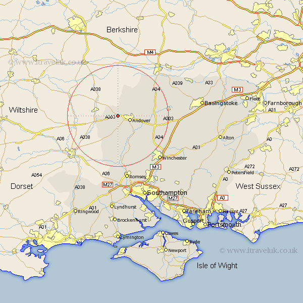
Hampshire Map Showing Location of Weyhill
District: Test Valley
Easting: 431425 Northing: 146542
Latitude: 51.22 Longitude: -1.55
 = Weyhill
Easting: 431425 Northing: 146542
Latitude: 51.22 Longitude: -1.55
= Weyhill
This Weyhill map below is supplied by Google. Use the tools in the top left corner to zoom into street level or zoom out for a road map, you may also need to zoom in to see Weyhill on the map. Click and drag the map to move around. If the map fails to load try and refresh your browser or zoom in or out (+ or -).
Update - it seems Google no longer allow people to use their maps for free! This Weyhill map sometimes loads and sometimes gives a error. I am working on a solution.
Closest 30 Towns or Cities to Weyhill (Population over 500)
Thruxton 2.97km Abbots Ann 4.38km Abbotts Ann 4.38km Andover 5km Upper Clatford 5.95km Tangley 6.02km Lower Clatford 7.25km Clatford 7.25km Goodworth Clatford 7.25km Hurstbourne Tarrant 8.91km Vernhams Dean 9.55km Vernham Dean 9.55km Over Wallop 9.91km Chilbolton 11.01km Longparish 11.09km Nether Wallop 11.18km Stockbridge 13.78km Barton Stacey 13.93km Broughton 14.83km Whitchurch 15.09km Kings Somborne 17.32km East Woodhay 17.48km Wonston 17.87km Burghclere 19.68km Highclere 19.88km Sparsholt 20.33km Michelmersh 20.69km Michlemersh 20.69km Overton 20.97km Micheldever 21.82km