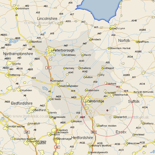
Cambridgeshire Map Showing Location of West Wratting
Population: 436
District: South Cambridgeshire
Easting: 560822 Northing: 250982
Latitude: 52.13 Longitude: 0.35
 = West Wratting
District: South Cambridgeshire
Easting: 560822 Northing: 250982
Latitude: 52.13 Longitude: 0.35
= West Wratting
This West Wratting map below is supplied by Google. Use the tools in the top left corner to zoom into street level or zoom out for a road map, you may also need to zoom in to see West Wratting on the map. Click and drag the map to move around. If the map fails to load try and refresh your browser or zoom in or out (+ or -).
Update - it seems Google no longer allow people to use their maps for free! This West Wratting map sometimes loads and sometimes gives a error. I am working on a solution.
Closest 30 Towns or Cities to West Wratting (Population over 500)
Balsham 2.28km Linton 6.79km Dullingham 7.5km Stetchworth 8.16km Great Wilbraham 8.8km Wilbraham 8.8km Castle Camps 9.33km Castle Camp 9.33km Fulbourn 10.66km Fulbourne 10.66km Bottisham 10.88km Swaffham Bulbeck 12.01km Cheveley 12.22km Sawston 12.65km Ashley 12.98km Swaffham Prior 13.42km Teversham 13.57km Ickleton 13.58km Whittlesford 13.78km Duxford 14.75km Shelford 14.79km Burwell 14.88km Hauxton 17.16km Waterbeach 17.25km Thriplow 17.47km Cambridge 17.56km Milton 17.59km Harston 18.2km Fordham 18.85km Wicken 18.85km