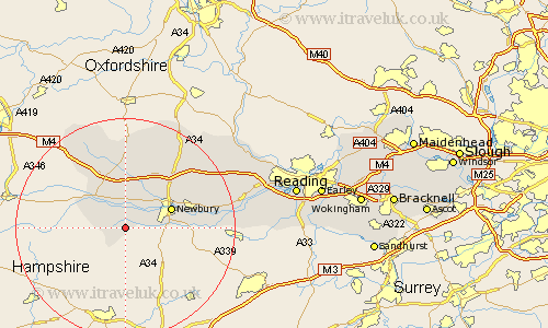
Berkshire Map Showing Location of West Woodhay
Population: 100
Easting: 439444 Northing: 163278
Latitude: 51.37 Longitude: -1.43
 = West Woodhay
Easting: 439444 Northing: 163278
Latitude: 51.37 Longitude: -1.43
= West Woodhay
This West Woodhay map below is supplied by Google. Use the tools in the top left corner to zoom into street level or zoom out for a road map, you may also need to zoom in to see West Woodhay on the map. Click and drag the map to move around. If the map fails to load try and refresh your browser or zoom in or out (+ or -).
Update - it seems Google no longer allow people to use their maps for free! This West Woodhay map sometimes loads and sometimes gives a error. I am working on a solution.
Closest 30 Towns or Cities to West Woodhay (Population over 500)
Kintbury 1.85km Inkpen 3.47km Speen 6.87km Hungerford 8.02km Newbury 8.9km Welford 9.55km Shaw 9.97km Greenham 10.57km West Shefford 11.18km Shefford 11.18km Great Shefford 11.18km Thatcham 12.14km Chieveley 12.3km East Garston 13.42km Cold Ash 13.88km Hermitage 14.81km Brimpton 17.36km Bucklebury 17.8km Lambourn 18.06km Aldermaston 19.75km Beenham 20.43km Compton 20.97km East Ilsley 21.24km Bradfield 22.09km Streatley 25.77km Basildon 26.49km Theale 26.49km Pangbourne 27.51km Burghfield 28km Stratfield Mortimer 28.93km