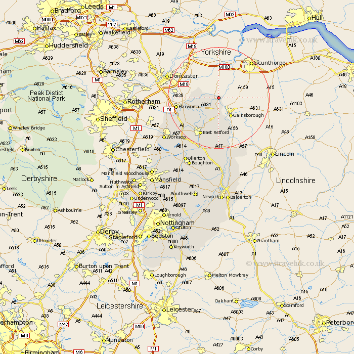
Nottinghamshire Map Showing Location of West Stockwith
Population: 303
District: Bassetlaw
Easting: 477469 Northing: 395466
Latitude: 53.45 Longitude: -0.83
 = West Stockwith
District: Bassetlaw
Easting: 477469 Northing: 395466
Latitude: 53.45 Longitude: -0.83
= West Stockwith
This West Stockwith map below is supplied by Google. Use the tools in the top left corner to zoom into street level or zoom out for a road map, you may also need to zoom in to see West Stockwith on the map. Click and drag the map to move around. If the map fails to load try and refresh your browser or zoom in or out (+ or -).
Update - it seems Google no longer allow people to use their maps for free! This West Stockwith map sometimes loads and sometimes gives a error. I am working on a solution.
Closest 30 Towns or Cities to West Stockwith (Population over 500)
Misterton 1.1km Walkeringham 3.7km Beckingham 5.56km Gringley-on-the-Hill 7.1km Gringley on the Hill 7.1km Gringley 7.1km Misson 8.83km Everton 9.52km Mattersey 10.44km Hayton 11.97km Clarborough 11.97km Bircotes 14.82km North Leverton 14.86km Sutton 14.92km Ramskill 15.28km Ranskill 15.28km Harworth 15.89km East Retford 16.24km Bampton 16.82km Rampton 16.82km Grove 17.26km Styrrup 17.47km Blyth 18.03km Elkesley 22.22km Elksley 22.22km Markham 22.49km East Markham 22.49km Worksop 25.97km Walesby 26.07km Tuxford 26.15km