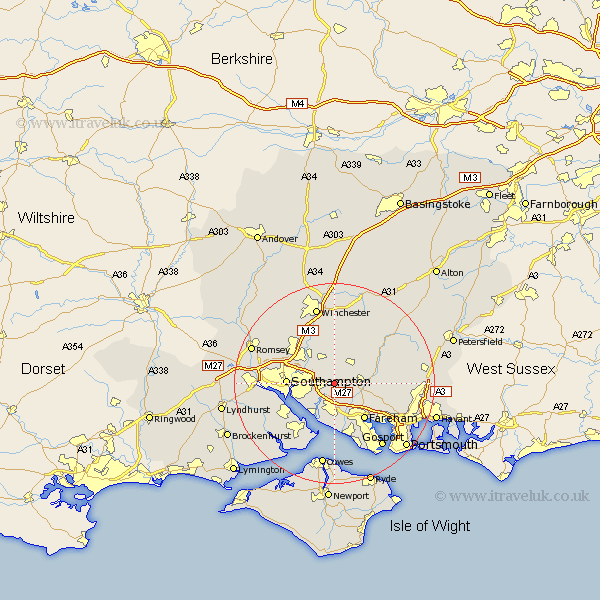
Hampshire Map Showing Location of Botley
Population: 2302
Area Size (ha): 70
District: Eastleigh
Easting: 451544 Northing: 113343
Latitude: 50.92 Longitude: -1.27
 = Botley
Area Size (ha): 70
District: Eastleigh
Easting: 451544 Northing: 113343
Latitude: 50.92 Longitude: -1.27
= Botley
This Botley map below is supplied by Google. Use the tools in the top left corner to zoom into street level or zoom out for a road map, you may also need to zoom in to see Botley on the map. Click and drag the map to move around. If the map fails to load try and refresh your browser or zoom in or out (+ or -).
Update - it seems Google no longer allow people to use their maps for free! This Botley map sometimes loads and sometimes gives a error. I am working on a solution.
Closest 30 Towns or Cities to Botley (Population over 500)
Botley 0km Curbridge 1.17km Curdridge 1.17km Durley 3.88km West End 4.67km Waltham Chase 4.67km Bishop's Waltham 5.1km Bishops Waltham 5.1km Shedfield 5.84km Shidfield 5.84km Upham 6.03km Bursledon 6.03km Locks Heath 6.83km Ashurst 7.01km Swanmore 7.25km Wickham 7.25km Bishopstoke 7.26km Netley 7.26km Netley Marsh 7.26km Eastleigh 8.06km Hamble 8.2km Hample 8.2km Itchen 8.39km Owslebury 9.26km Southampton 9.35km Fareham 9.44km Soberton 9.53km Droxford 10.05km Corhampton 10.87km Hythe 10.88km