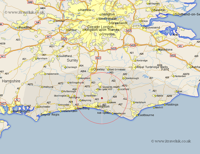
Sussex Map Showing Location of Westmeston
Population: 297
District: Lewes
Easting: 534762 Northing: 112980
Latitude: 50.9 Longitude: -0.08
 = Westmeston
District: Lewes
Easting: 534762 Northing: 112980
Latitude: 50.9 Longitude: -0.08
= Westmeston
This Westmeston map below is supplied by Google. Use the tools in the top left corner to zoom into street level or zoom out for a road map, you may also need to zoom in to see Westmeston on the map. Click and drag the map to move around. If the map fails to load try and refresh your browser or zoom in or out (+ or -).
Update - it seems Google no longer allow people to use their maps for free! This Westmeston map sometimes loads and sometimes gives a error. I am working on a solution.
Closest 30 Towns or Cities to Westmeston (Population over 500)
Ditchelling 2.19km Ditchling 2.19km Plumpton 2.99km Keymer 3.97km Hassocks 3.97km Wivelsfield 5.56km Lewes 5.97km Hurstpierpoint 6.13km Kingston near Lewes 7.27km Kingston 7.27km Albourne 7.93km Barcombe Mills Station 8.18km Burgess Hill 8.2km Brighton 8.77km Chailey 8.95km Haywards Heath 9.34km Baywards Heath 9.34km Newick 10.2km Hove 10.21km Ringmer 10.68km Isfield 11.15km Lindfield 11.18km Saltdean 11.2km Rottingdean 11.36km Portslade 11.94km Southwick 11.94km Fletching 12.35km Botney 12.35km Bolney 12.35km New Shoreham 12.88km