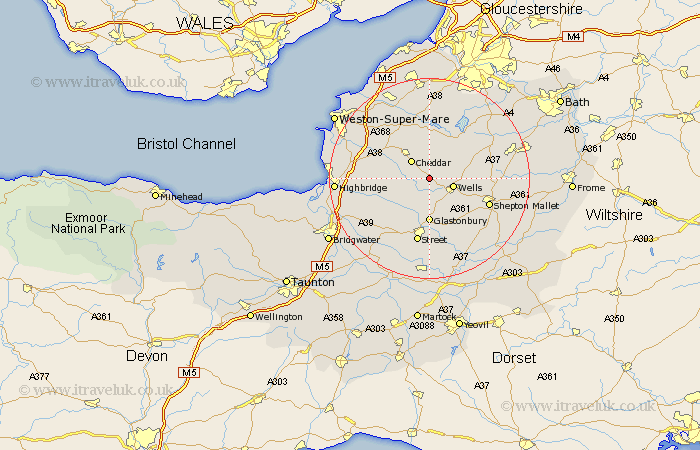
Somerset Map Showing Location of Westbury
Population: 806
District: Mendip
Easting: 349969 Northing: 148536
Latitude: 51.23 Longitude: -2.72
 = Westbury
District: Mendip
Easting: 349969 Northing: 148536
Latitude: 51.23 Longitude: -2.72
= Westbury
This Westbury map below is supplied by Google. Use the tools in the top left corner to zoom into street level or zoom out for a road map, you may also need to zoom in to see Westbury on the map. Click and drag the map to move around. If the map fails to load try and refresh your browser or zoom in or out (+ or -).
Update - it seems Google no longer allow people to use their maps for free! This Westbury map sometimes loads and sometimes gives a error. I am working on a solution.
Closest 30 Towns or Cities to Westbury (Population over 500)
Rodney Stoke 2.19km Priddy 3.94km Wookey 4.37km Wells 5km Cheddar 5.09km Wedmore 7.2km Axbridge 8.04km Meare 8.74km Compton Martin 8.75km Glastonbury 8.9km Weare 8.93km East Harptree 9.41km Shipham 9.41km Chewton Mendip 10km West Pennard 10.36km Blagdon 11.12km Pilton 11.88km Churchill 12.54km Ashcott 12.55km Shepton Mallet 12.87km Shepun 12.87km Mark 12.9km Street 13.17km Walton 13.43km Sandford 13.76km Baltonsborough 13.77km Shapwick 13.78km Farrington Gurney 13.92km Banwell 13.96km Chew Stoke 14.21km