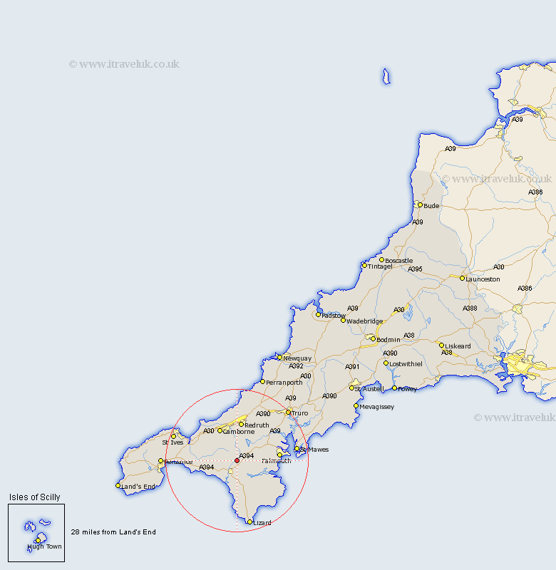
Cornwall Map Showing Location of Wendron
Population: 2476
District: Kerrier
Easting: 167770 Northing: 31043
Latitude: 50.13 Longitude: -5.25
 = Wendron
District: Kerrier
Easting: 167770 Northing: 31043
Latitude: 50.13 Longitude: -5.25
= Wendron
This Wendron map below is supplied by Google. Use the tools in the top left corner to zoom into street level or zoom out for a road map, you may also need to zoom in to see Wendron on the map. Click and drag the map to move around. If the map fails to load try and refresh your browser or zoom in or out (+ or -).
Update - it seems Google no longer allow people to use their maps for free! This Wendron map sometimes loads and sometimes gives a error. I am working on a solution.
Closest 30 Towns or Cities to Wendron (Population over 500)
Crowan 4.02km Helston 4.4km Helstone 4.4km Gweek 4.4km Constatine 6.22km Constantine 6.22km Breage 7km Stithians 7.31km Porthleven 7.32km Troon 8.79km Budock 9.68km Budock Water 9.68km Germol 9.68km Germoe 9.68km Gwinear 10km Camborne 10.42km Hayle 11km Heyl 11km Gwennap 11.01km Redruth 11.18km Illogan 11.18km Penryn 11.31km Mawnan 11.32km Falmouth 12.02km Saint Hilary 12.02km St Hilary 12.02km St. Hilary 12.02km St Day 12.09km Saint Day 12.09km St. Day 12.09km