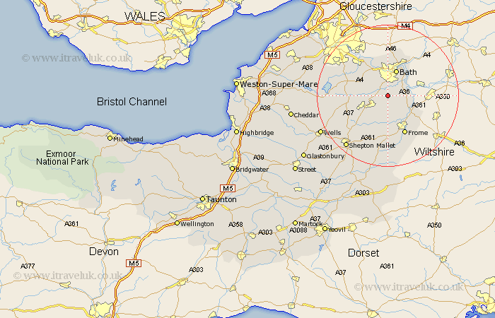
Somerset Map Showing Location of Wellow
Population: 511
Easting: 373288 Northing: 157635
Latitude: 51.32 Longitude: -2.38
 = Wellow
Easting: 373288 Northing: 157635
Latitude: 51.32 Longitude: -2.38
= Wellow
This Wellow map below is supplied by Google. Use the tools in the top left corner to zoom into street level or zoom out for a road map, you may also need to zoom in to see Wellow on the map. Click and drag the map to move around. If the map fails to load try and refresh your browser or zoom in or out (+ or -).
Update - it seems Google no longer allow people to use their maps for free! This Wellow map sometimes loads and sometimes gives a error. I am working on a solution.
Closest 30 Towns or Cities to Wellow (Population over 500)
Norton St. Philip 3.94km Norton Saint Philip 3.94km Norton St Philip 3.94km Camerton 4.63km Freshford 6.08km Kilmersden 6.56km Kilmersdon 6.56km Timsbury 6.95km Bath 7.76km Road 7.88km Rode 7.88km Farmboro 8.32km Farmborough 8.32km Paulton 8.32km Bathampton 8.73km Beckington 8.9km Mells 9.35km Stratton 9.84km Stratton on the Fosse 9.84km Stratton-on-the-Fosse 9.84km Chilcompton 9.84km Batheaston 10.35km Saltford 10.36km Temple Cloud 10.53km Clutton 10.59km Bathford 10.92km Coleford 10.98km Farrington Gurney 11.07km Holcombe 11.59km Publow 11.81km