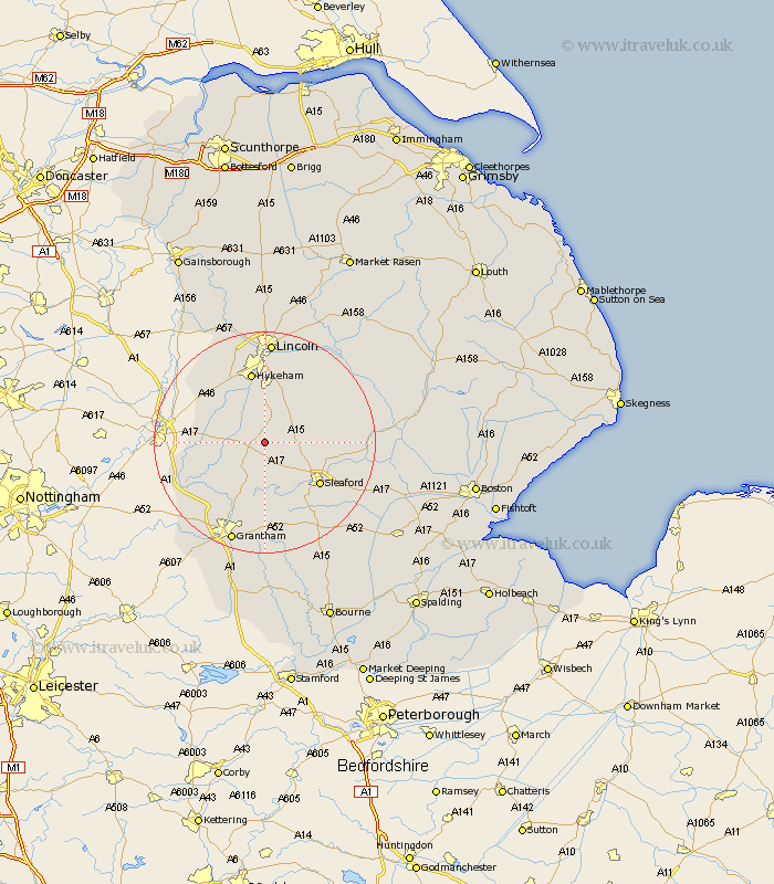
Lincolnshire Map Showing Location of Welbourn
Population: 646
District: North Kesteven
Easting: 497147 Northing: 353178
Latitude: 53.07 Longitude: -0.55
 = Welbourn
District: North Kesteven
Easting: 497147 Northing: 353178
Latitude: 53.07 Longitude: -0.55
= Welbourn
This Welbourn map below is supplied by Google. Use the tools in the top left corner to zoom into street level or zoom out for a road map, you may also need to zoom in to see Welbourn on the map. Click and drag the map to move around. If the map fails to load try and refresh your browser or zoom in or out (+ or -).
Update - it seems Google no longer allow people to use their maps for free! This Welbourn map sometimes loads and sometimes gives a error. I am working on a solution.
Closest 30 Towns or Cities to Welbourn (Population over 500)
Wellingore 3.87km Navenby 4.32km Fulbeck 4.33km Caythorpe 6.49km Cranwell 6.7km Bassingham 7.87km Brauncewell 8.02km Bloxholme 9.1km Bloxholm 9.1km Aubourn 10.28km Leasingham 10.51km Heasingham 10.51km Scopwick 10.68km Waddington 11.18km Ancaster 11.18km Buskington 11.74km Ruskington 11.74km Digby 12.39km Sleaford 12.42km Metheringham 12.46km Claypole 12.8km North Hykeham 13.16km Hykeham 13.16km Swinderby 13.64km Dunston 13.64km Thorpe on the Hill 14.11km Thorpe-on-the-Hill 14.11km Thorpe 14.11km Branston 14.11km Nocton 14.24km