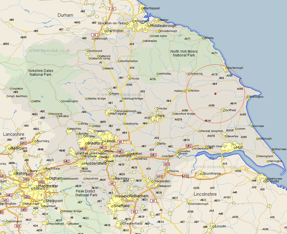
Yorkshire Map Showing Location of Weaverthorpe
Population: 347
District: Ryedale
Easting: 496946 Northing: 470017
Latitude: 54.12 Longitude: -0.52
 = Weaverthorpe
District: Ryedale
Easting: 496946 Northing: 470017
Latitude: 54.12 Longitude: -0.52
= Weaverthorpe
This Weaverthorpe map below is supplied by Google. Use the tools in the top left corner to zoom into street level or zoom out for a road map, you may also need to zoom in to see Weaverthorpe on the map. Click and drag the map to move around. If the map fails to load try and refresh your browser or zoom in or out (+ or -).
Update - it seems Google no longer allow people to use their maps for free! This Weaverthorpe map sometimes loads and sometimes gives a error. I am working on a solution.
Closest 30 Towns or Cities to Weaverthorpe (Population over 500)
Sherburn 5.56km Great Driffield 5.74km Willerby 8.58km Yedingham 11.32km Brompton 11.33km Snainton 11.94km Kilham 12.28km Rillington 12.5km Wetwang 13.38km Driffield 13.39km Seamer 14.05km Nafferton 14.12km Hunmanby 14.16km Eastfield 15.03km Cayton 16.23km Norton 16.44km North Frodingham 16.82km Filey 18.08km Thornton-le-Dale 18.37km Thornton Dale 18.37km Malton 19.2km Scalby 19.3km Cranswick 19.32km Scarborough 20.1km Bridlington 20.26km Pickering 22.01km Bempton 22.88km Burniston 22.89km Beeford 23.34km Lockington 24.19km