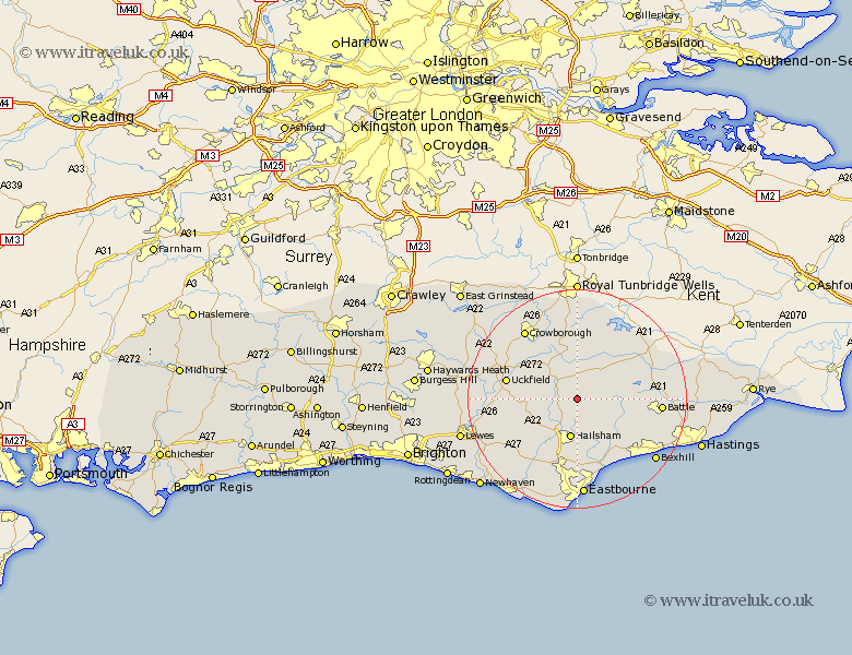
Sussex Map Showing Location of Warbleton
Population: 1243
District: Wealden
Easting: 560426 Northing: 117415
Latitude: 50.93 Longitude: 0.28
 = Warbleton
District: Wealden
Easting: 560426 Northing: 117415
Latitude: 50.93 Longitude: 0.28
= Warbleton
This Warbleton map below is supplied by Google. Use the tools in the top left corner to zoom into street level or zoom out for a road map, you may also need to zoom in to see Warbleton on the map. Click and drag the map to move around. If the map fails to load try and refresh your browser or zoom in or out (+ or -).
Update - it seems Google no longer allow people to use their maps for free! This Warbleton map sometimes loads and sometimes gives a error. I am working on a solution.
Closest 30 Towns or Cities to Warbleton (Population over 500)
Heathfield 2.19km Horeham 2.98km Horam 2.98km Hurstmonceux 6.57km Hurstmonceaux 6.57km Herstmonceux 6.57km Hailsham 7.5km Hellingly 7.77km Mayfield 7.78km Chiddingly 7.93km East Hoathly 8.38km Hadlow Down 8.94km Burwash 10.2km Framfield 10.67km Buxted 11.89km Laughton 11.9km Ninfield 11.93km Rotherfield 12.06km Mountfield 12.85km Etchingham 12.86km Catsfield 12.94km Chalvington 13.16km Uckfield 13.37km Wadhurst 13.44km Robertsbridge 13.99km Ticehurst 14.52km Hurst Green 14.83km Maresfield 15.07km Isfield 15.18km Polegate 15.23km