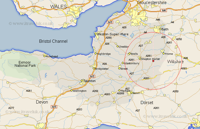
Somerset Map Showing Location of Wanstraw
Population: 446
District: Mendip
Easting: 370870 Northing: 140968
Latitude: 51.17 Longitude: -2.42
 = Wanstraw
District: Mendip
Easting: 370870 Northing: 140968
Latitude: 51.17 Longitude: -2.42
= Wanstraw
This Wanstraw map below is supplied by Google. Use the tools in the top left corner to zoom into street level or zoom out for a road map, you may also need to zoom in to see Wanstraw on the map. Click and drag the map to move around. If the map fails to load try and refresh your browser or zoom in or out (+ or -).
Update - it seems Google no longer allow people to use their maps for free! This Wanstraw map sometimes loads and sometimes gives a error. I am working on a solution.
Closest 30 Towns or Cities to Wanstraw (Population over 500)
Nunney 4.37km Leigh 6.03km Leigh on Mendip 6.03km Leigh upon Mendip 6.03km Leigh-on-Mendip 6.03km Evercreech 6.1km Mells 7.5km Bruton 7.51km Redlynch 7.51km Coleford 7.59km Holcombe 8.74km Frome 8.91km Wincanton 9.35km Shepun 9.48km Shepton Mallet 9.48km Ditcheat 9.86km Kilmersdon 11.18km Kilmersden 11.18km Castle Cary 11.61km Pilton 11.62km Stratton 12.54km Stratton on the Fosse 12.54km Chilcompton 12.54km Stratton-on-the-Fosse 12.54km Beckington 14.49km Farrington Gurney 15.3km Norton St. Philip 15.92km Norton St Philip 15.92km Norton Saint Philip 15.92km Paulton 15.92km