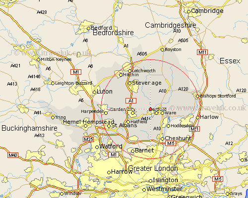
Hertfordshire Map Showing Location of Bramfield
Population: 255
District: East Hertfordshire
Easting: 530949 Northing: 214875
Latitude: 51.82 Longitude: -0.1
 = Bramfield
District: East Hertfordshire
Easting: 530949 Northing: 214875
Latitude: 51.82 Longitude: -0.1
= Bramfield
This Bramfield map below is supplied by Google. Use the tools in the top left corner to zoom into street level or zoom out for a road map, you may also need to zoom in to see Bramfield on the map. Click and drag the map to move around. If the map fails to load try and refresh your browser or zoom in or out (+ or -).
Update - it seems Google no longer allow people to use their maps for free! This Bramfield map sometimes loads and sometimes gives a error. I am working on a solution.
Closest 30 Towns or Cities to Bramfield (Population over 500)
Stapleford 1.85km Harmer Green 2.94km Hertford 2.95km Tewin 3.44km Watton at Stone 3.7km Watton 3.7km Hertingfordbury 3.71km Ware 4.95km Datchworth 5.05km Little Amwell 5.9km Thundridge 6.02km Little Munden 6.54km Knebworth 6.82km Great Amwell 6.83km Welwyn Garden City 7.12km Garden City 7.12km Bishops Hatfield 7.21km Benington 7.41km Bennington 7.41km Aston 8.16km Essendon 8.17km Welwyn 8.23km Stanstead Abbots 8.84km Widford 9.17km Codicote 9.88km Hoddesdon 10.12km Hatfield 10.33km Brookmans Park 10.9km Walkern 11.35km Standon 11.78km