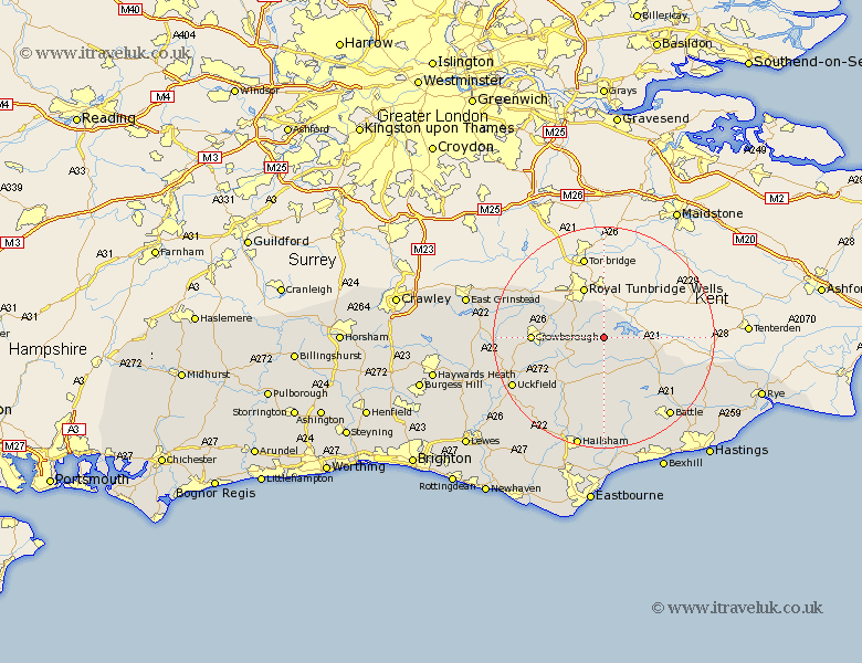
Sussex Map Showing Location of Wadhurst
Population: 4200
Area Size (ha): 162
District: Wealden
Easting: 563527 Northing: 130499
Latitude: 51.05 Longitude: 0.33
 = Wadhurst
Area Size (ha): 162
District: Wealden
Easting: 563527 Northing: 130499
Latitude: 51.05 Longitude: 0.33
= Wadhurst
This Wadhurst map below is supplied by Google. Use the tools in the top left corner to zoom into street level or zoom out for a road map, you may also need to zoom in to see Wadhurst on the map. Click and drag the map to move around. If the map fails to load try and refresh your browser or zoom in or out (+ or -).
Update - it seems Google no longer allow people to use their maps for free! This Wadhurst map sometimes loads and sometimes gives a error. I am working on a solution.
Closest 30 Towns or Cities to Wadhurst (Population over 500)
Frant 5.95km Ticehurst 6.12km Burwash 6.57km Mayfield 8.05km Rotherfield 8.36km Etchingham 8.93km Hurst Green 10.86km Robertsbridge 11.92km Heathfield 12.06km Crowborough 12.82km Hadlow Down 12.85km Warbleton 13.44km Withyham 14.46km Hartfield 15.59km Buxted 15.83km Horeham 15.93km Horam 15.93km Mountfield 15.98km Framfield 17.87km Hurstmonceux 18.54km Herstmonceux 18.54km Hurstmonceaux 18.54km Uckfield 18.77km East Hoathly 18.86km Battle 18.86km Maresfield 19km Chiddingly 19.71km Northiam 20.08km Catsfield 20.26km Sedlescombe 20.39km