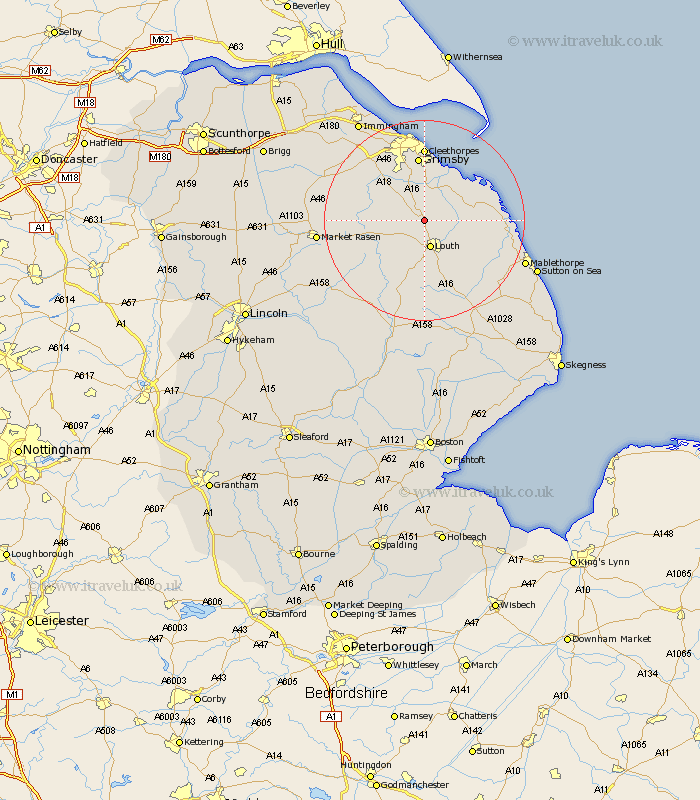
Lincolnshire Map Showing Location of Utterby
Population: 251
District: East Lindsey
Easting: 530689 Northing: 392929
Latitude: 53.42 Longitude: -0.03
 = Utterby
District: East Lindsey
Easting: 530689 Northing: 392929
Latitude: 53.42 Longitude: -0.03
= Utterby
This Utterby map below is supplied by Google. Use the tools in the top left corner to zoom into street level or zoom out for a road map, you may also need to zoom in to see Utterby on the map. Click and drag the map to move around. If the map fails to load try and refresh your browser or zoom in or out (+ or -).
Update - it seems Google no longer allow people to use their maps for free! This Utterby map sometimes loads and sometimes gives a error. I am working on a solution.
Closest 30 Towns or Cities to Utterby (Population over 500)
Fulstow 3.86km Louth 5.67km North Thoresby 5.67km North Coates 7.1km Tetney 7.49km Grainthorpe 9.52km Grimoldby 9.53km binbrook 10.11km Manby 10.44km Legbourne 10.8km Holton le Clay 11.34km Waltham 11.96km North Somercotes 12.29km Humberston 12.97km Humberstone 12.97km Grimsby 13.01km Great Grimsby 13.01km Saltfleet 14.36km Saltfleetby St. Clement 14.48km Saltfleetby St Clement 14.48km Saltfleetby Saint Clement 14.48km Saltfleetby 14.48km Cleethorpes 14.82km Laceby 15.68km Great Coates 17km Healing 18.87km Nettleton 20.17km Caistor 20.17km Market Rasen 20.23km Mablethorpe 20.96km