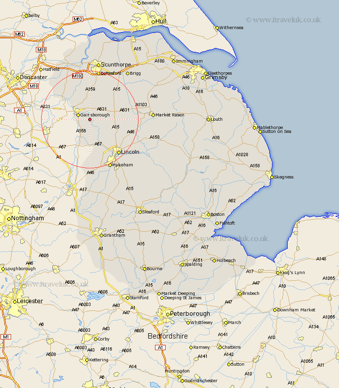
Lincolnshire Map Showing Location of Upton
Population: 404
District: West Lindsey
Easting: 486492 Northing: 386353
Latitude: 53.37 Longitude: -0.7
 = Upton
District: West Lindsey
Easting: 486492 Northing: 386353
Latitude: 53.37 Longitude: -0.7
= Upton
This Upton map below is supplied by Google. Use the tools in the top left corner to zoom into street level or zoom out for a road map, you may also need to zoom in to see Upton on the map. Click and drag the map to move around. If the map fails to load try and refresh your browser or zoom in or out (+ or -).
Update - it seems Google no longer allow people to use their maps for free! This Upton map sometimes loads and sometimes gives a error. I am working on a solution.
Closest 30 Towns or Cities to Upton (Population over 500)
Willingham 2.16km Lea 3.32km Gainsborough 4.79km Gainesborough 4.79km Marton 5.98km Morton 6.65km Blyton 7.49km Ingham 8.59km Torksey 9.53km Scrampton 11.55km Scampton 11.55km Scotton 11.6km Saxilby 11.6km Kirton in Lindsey 12.94km Kirton 12.94km Scotter 13.15km Owston 13.7km Owston Ferry 13.7km Waddingham 15.28km Haxey 15.69km Skellingthorpe 15.83km Welton 16.19km Dunholm 17.18km Dunholme 17.18km Nettleham 18.19km Epworth 18.38km Hibaldstow 18.48km Lincoln 18.51km North Scarle 18.67km Messingham 18.82km