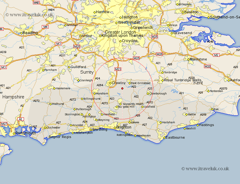
Sussex Map Showing Location of Turners Hill
Population: 1849
District: Mid Sussex
Easting: 534232 Northing: 133359
Latitude: 51.08 Longitude: -0.08
 = Turners Hill
District: Mid Sussex
Easting: 534232 Northing: 133359
Latitude: 51.08 Longitude: -0.08
= Turners Hill
This Turners Hill map below is supplied by Google. Use the tools in the top left corner to zoom into street level or zoom out for a road map, you may also need to zoom in to see Turners Hill on the map. Click and drag the map to move around. If the map fails to load try and refresh your browser or zoom in or out (+ or -).
Update - it seems Google no longer allow people to use their maps for free! This Turners Hill map sometimes loads and sometimes gives a error. I am working on a solution.
Closest 30 Towns or Cities to Turners Hill (Population over 500)
Forest Row 3.49km Worth 3.95km Balcombe 4.37km Ardingly 5.56km East Grinstead 5.96km South Nutfield 8.19km Cuckfield 8.19km Crawley 8.53km Horsted Keynes 8.75km Lindfield 9.34km Slaugham 9.87km Baywards Heath 11.18km Haywards Heath 11.18km Rusper 12.94km Burgess Hill 13.43km Botney 13.79km Bolney 13.79km Fletching 13.79km Lower Beeding 13.8km Hartfield 13.97km Newick 14.73km Wivelsfield 14.82km Withyham 15.13km Maresfield 16.11km Chailey 16.39km Crowborough 16.72km Cowfold 16.97km Warnham 17.46km Nuthurst 17.76km Horsham 17.86km