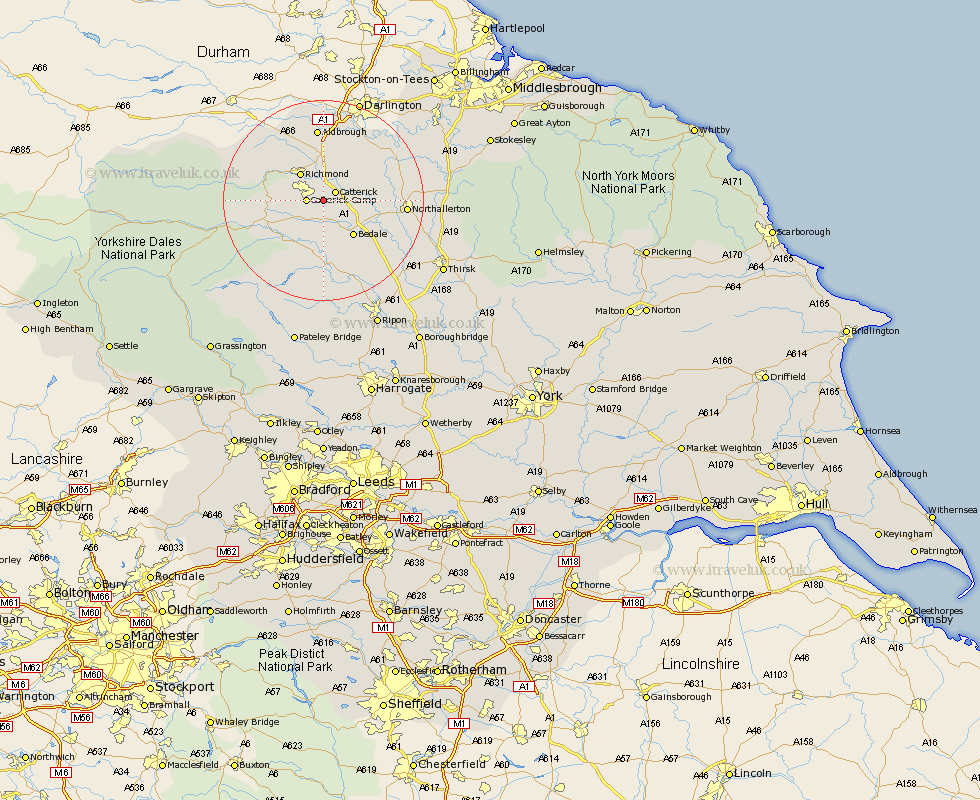
Yorkshire Map Showing Location of Tunstall
District: Richmondshire
Easting: 421663 Northing: 495007
Latitude: 54.35 Longitude: -1.67
 = Tunstall
Easting: 421663 Northing: 495007
Latitude: 54.35 Longitude: -1.67
= Tunstall
This Tunstall map below is supplied by Google. Use the tools in the top left corner to zoom into street level or zoom out for a road map, you may also need to zoom in to see Tunstall on the map. Click and drag the map to move around. If the map fails to load try and refresh your browser or zoom in or out (+ or -).
Update - it seems Google no longer allow people to use their maps for free! This Tunstall map sometimes loads and sometimes gives a error. I am working on a solution.
Closest 30 Towns or Cities to Tunstall (Population over 500)
Catterick 2.85km Scorton 5.69km Crakehall 6.44km Richmond 7.04km Bedale 9.18km North Cowton 9.38km Gilling 9.81km Middleton Tyas 11.17km Leyburn 11.2km East Cowton 11.38km Cowton 11.38km Middleham 12.23km Barton 13.02km Melsonby 14.86km Masham 14.86km Northallerton 15.24km Brompton 16.2km Tanfield 17.9km West Tanfield 17.9km Grewelthorpe 18.57km Kirkby Malzeard 20.41km Osmotherley 23.83km Bradley 24.47km Topcliffe 26.12km Thirsk 26.23km Dishforth 27.54km Ripon 27.71km Whorlton 27.98km Middleton 28.96km Middleton upon Leven 28.96km