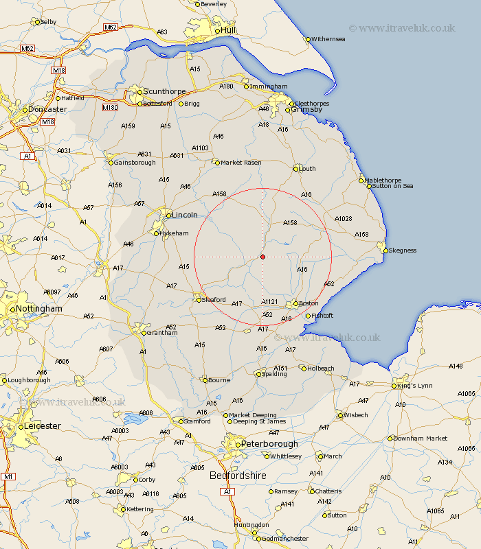
Lincolnshire Map Showing Location of Tumby
Population: 232
District: East Lindsey
Easting: 523801 Northing: 359356
Latitude: 53.12 Longitude: -0.15
 = Tumby
District: East Lindsey
Easting: 523801 Northing: 359356
Latitude: 53.12 Longitude: -0.15
= Tumby
This Tumby map below is supplied by Google. Use the tools in the top left corner to zoom into street level or zoom out for a road map, you may also need to zoom in to see Tumby on the map. Click and drag the map to move around. If the map fails to load try and refresh your browser or zoom in or out (+ or -).
Update - it seems Google no longer allow people to use their maps for free! This Tumby map sometimes loads and sometimes gives a error. I am working on a solution.
Closest 30 Towns or Cities to Tumby (Population over 500)
Coningsby 1.11km Tattershall 3.82km Woodhall Spa 5.79km Carrington 7.64km Mareham 9.26km Mareham on the Hill 9.26km Mareham-on-the-Hill 9.26km Horncastle 9.52km Banovallum 9.52km Billinghay 9.65km Stickney 11.73km Frithville 12.11km Martin 12.24km Sibsey 14.49km Digby 14.94km Brothertoft 15.21km Bardney 15.72km Metheringham 16.78km Scopwick 16.79km Dunston 17.08km Boston 17.31km Ruskington 18.14km Buskington 18.14km Bloxholme 18.19km Bloxholm 18.19km Spilsby 18.24km Nocton 18.64km Heckington 18.91km Potter Hanworth 19.26km Old Leake 20.07km