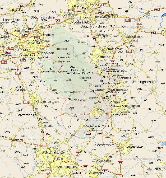
Derbyshire Map Showing Location of Trusley
Population: 92
District: South Derbyshire
Easting: 425782 Northing: 333722
Latitude: 52.9 Longitude: -1.62
 = Trusley
District: South Derbyshire
Easting: 425782 Northing: 333722
Latitude: 52.9 Longitude: -1.62
= Trusley
This Trusley map below is supplied by Google. Use the tools in the top left corner to zoom into street level or zoom out for a road map, you may also need to zoom in to see Trusley on the map. Click and drag the map to move around. If the map fails to load try and refresh your browser or zoom in or out (+ or -).
Update - it seems Google no longer allow people to use their maps for free! This Trusley map sometimes loads and sometimes gives a error. I am working on a solution.
Closest 30 Towns or Cities to Trusley (Population over 500)
Burnaston 3.83km Etwall 3.87km Kirk Langley 4.99km Brailsford 5.56km Church Broughton 5.89km Egginton 7.5km Findern 7.89km Derby 8.65km Willington 8.66km Repton 8.66km Scropton 8.72km Newton Solney 9.53km Quarndon 9.59km Sudbury 9.68km Burton upon Trent 11.12km Burton on Trent 11.12km Burton-on-Trent 11.12km Duffield 11.61km Breadsall 11.77km Little Eaton 12.48km Bretby 13.17km Doveridge 13.41km Clifton 14.26km Ticknall 14.28km Holbrook 14.99km Ashbourne 15.15km Melbourne 15.41km Swadlincote 15.48km Borrowash 15.65km Hartshorn 16.27km