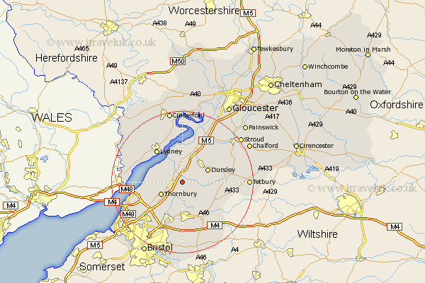
Gloucestershire Map Showing Location of Tortworth
Population: 150
Easting: 370012 Northing: 192862
Latitude: 51.63 Longitude: -2.43
 = Tortworth
Easting: 370012 Northing: 192862
Latitude: 51.63 Longitude: -2.43
= Tortworth
This Tortworth map below is supplied by Google. Use the tools in the top left corner to zoom into street level or zoom out for a road map, you may also need to zoom in to see Tortworth on the map. Click and drag the map to move around. If the map fails to load try and refresh your browser or zoom in or out (+ or -).
Update - it seems Google no longer allow people to use their maps for free! This Tortworth map sometimes loads and sometimes gives a error. I am working on a solution.
Closest 30 Towns or Cities to Tortworth (Population over 500)
Falfield 1.15km Charfield 2.18km Cromhall 2.18km Stone 2.96km Tytherington 5.06km North Nibley 5.07km Berkeley 5.68km Wotton-under-Edge 5.75km Wotton under Edge 5.75km Wickwar 6.54km Thornbury 6.84km Rangeworthy 7.5km Dursley 7.83km Alveston 7.84km Hawkesbury 8.87km Cam 9.38km Iron Acton 9.55km Uley 9.78km Slimbridge 9.89km Olveston 10.76km Coaley 11.56km Lydney 11.56km Winterbourne 11.57km Chipping Sodbury 11.64km Frampton Cotterell 11.64km Westerleigh 12.97km Almondsbury 13.06km Aust 13.19km Woolaston 13.68km Patchway 14.44km