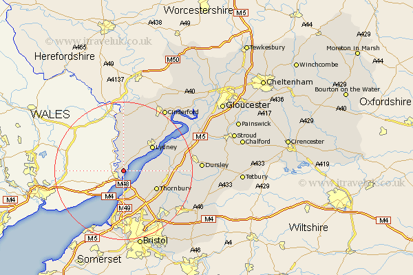
Gloucestershire Map Showing Location of Tidenham
Population: 5316
District: Forest of Dean
Easting: 355034 Northing: 194830
Latitude: 51.65 Longitude: -2.65
 = Tidenham
District: Forest of Dean
Easting: 355034 Northing: 194830
Latitude: 51.65 Longitude: -2.65
= Tidenham
This Tidenham map below is supplied by Google. Use the tools in the top left corner to zoom into street level or zoom out for a road map, you may also need to zoom in to see Tidenham on the map. Click and drag the map to move around. If the map fails to load try and refresh your browser or zoom in or out (+ or -).
Update - it seems Google no longer allow people to use their maps for free! This Tidenham map sometimes loads and sometimes gives a error. I am working on a solution.
Closest 30 Towns or Cities to Tidenham (Population over 500)
Aust 6.02km Woolaston 6.54km Olveston 9.39km Saint Briavels 9.54km St. Briavels 9.54km St Briavels 9.54km Alveston 9.79km Thornbury 10.75km Lydney 10.94km Pilning 11.18km Bream 12.51km Almondsbury 12.52km Stone 12.65km Tytherington 12.78km Falfield 13.92km Patchway 14.2km Berkeley 14.28km Cromhall 14.29km Newland 14.82km Filton 15.9km Stoke Gifford 16.36km Charfield 16.52km Rangeworthy 16.63km Iron Acton 16.85km Winterbourne 16.86km Coleford 17.03km Frampton Cotterell 17.35km North Nibley 18.49km Staunton 18.54km Awre 19.78km