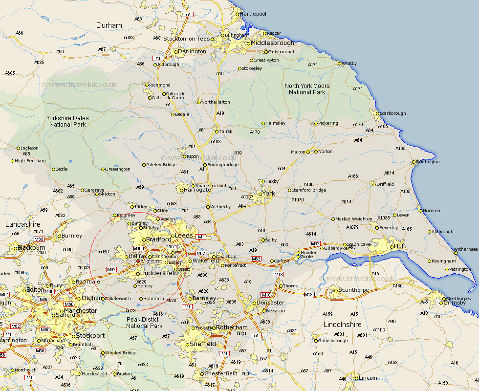
Yorkshire Map Showing Location of Brighouse
Population: 31538
Area Size (ha): 789
District: Calderdale
Easting: 414303 Northing: 422665
Latitude: 53.7 Longitude: -1.78
 = Brighouse
Area Size (ha): 789
District: Calderdale
Easting: 414303 Northing: 422665
Latitude: 53.7 Longitude: -1.78
= Brighouse
This Brighouse map below is supplied by Google. Use the tools in the top left corner to zoom into street level or zoom out for a road map, you may also need to zoom in to see Brighouse on the map. Click and drag the map to move around. If the map fails to load try and refresh your browser or zoom in or out (+ or -).
Update - it seems Google no longer allow people to use their maps for free! This Brighouse map sometimes loads and sometimes gives a error. I am working on a solution.
Closest 30 Towns or Cities to Brighouse (Population over 500)
Elland 3.78km Cleckheaton 4.76km Halifax 4.76km Liversedge 5.49km Huddersfield 5.56km Mirfield 7.55km Heckmondwike 7.68km Bradford 9.52km Luddenden Foot 10.05km Batley 10.69km Drewsbury 10.97km Dewsbury 10.97km Honley 11.17km Queensbury 11.49km Ripponden 11.58km Pudsey 12.03km Denholme 12.03km Kirkburton 12.4km Shelley 12.93km Mytholmroyd 13.29km Middlestown 13.29km Middletown 13.29km Emley 13.55km Morley 13.67km Shepley 13.7km Meltham 13.7km Wilsden 14.09km Ossett 14.74km Shipley 14.86km Cullingworth 15.07km