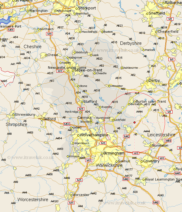
Staffordshire Map Showing Location of Thorpe Constantine
Population: 100
District: Lichfield
Easting: 425920 Northing: 307772
Latitude: 52.67 Longitude: -1.62
 = Thorpe Constantine
District: Lichfield
Easting: 425920 Northing: 307772
Latitude: 52.67 Longitude: -1.62
= Thorpe Constantine
This Thorpe Constantine map below is supplied by Google. Use the tools in the top left corner to zoom into street level or zoom out for a road map, you may also need to zoom in to see Thorpe Constantine on the map. Click and drag the map to move around. If the map fails to load try and refresh your browser or zoom in or out (+ or -).
Update - it seems Google no longer allow people to use their maps for free! This Thorpe Constantine map sometimes loads and sometimes gives a error. I am working on a solution.
Closest 30 Towns or Cities to Thorpe Constantine (Population over 500)
Clifton Campville 1.85km Wigginton 4.86km Edingale 5.82km Elford 6.99km Tamworth 7.15km Fazeley 7.91km Alrewas 9.63km Drayton Bassett 10.03km Whittington 10.28km Branston 13.4km Lichfield 13.61km Tatenhill 14.13km Yoxall 14.55km Shenstone 15.08km Anslow 17.27km Hammerwich 18.08km Rolleston 18.66km Longdon 18.81km Burntwood 19.19km Armitage 19.43km Hanbury 20.12km Hatton 20.81km Tutbury 20.87km Aldridge 21.56km Brownhills 21.68km Colton 23.06km Pelsall 23.17km Norton Canes 23.67km Rushall 23.69km Rugeley 24.05km