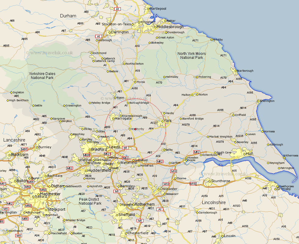
Yorkshire Map Showing Location of Thorp Arch
Population: 1123
District: Leeds
Easting: 443782 Northing: 446956
Latitude: 53.92 Longitude: -1.33
 = Thorp Arch
District: Leeds
Easting: 443782 Northing: 446956
Latitude: 53.92 Longitude: -1.33
= Thorp Arch
This Thorp Arch map below is supplied by Google. Use the tools in the top left corner to zoom into street level or zoom out for a road map, you may also need to zoom in to see Thorp Arch on the map. Click and drag the map to move around. If the map fails to load try and refresh your browser or zoom in or out (+ or -).
Update - it seems Google no longer allow people to use their maps for free! This Thorp Arch map sometimes loads and sometimes gives a error. I am working on a solution.
Closest 30 Towns or Cities to Thorp Arch (Population over 500)
Thorp Arch 0km Thorpe Arch 0km Boston Spa 2.15km Wetherby 3.27km Bramham 3.87km Collingham 4.75km Tadcaster 5.73km Long Marston 7.52km Bardsey 7.53km Hammerton 7.72km Kirk Hammerton 7.72km East Keswick 7.83km Thorner 9.21km Scarcroft 9.45km Rufforth 9.48km Green Hammerton 9.52km Ulleskelf 10.65km Harewood 11.07km Aberford 11.12km Whixley 11.17km Scholes 12.39km Knaresborough 12.72km Micklefield 12.98km Copmanthorpe 13.1km Upper Poppleton 13.22km Poppleton 13.22km Church Fenton 13.5km Pannal 13.61km Linton 14.06km Linton-on-Ouse 14.06km