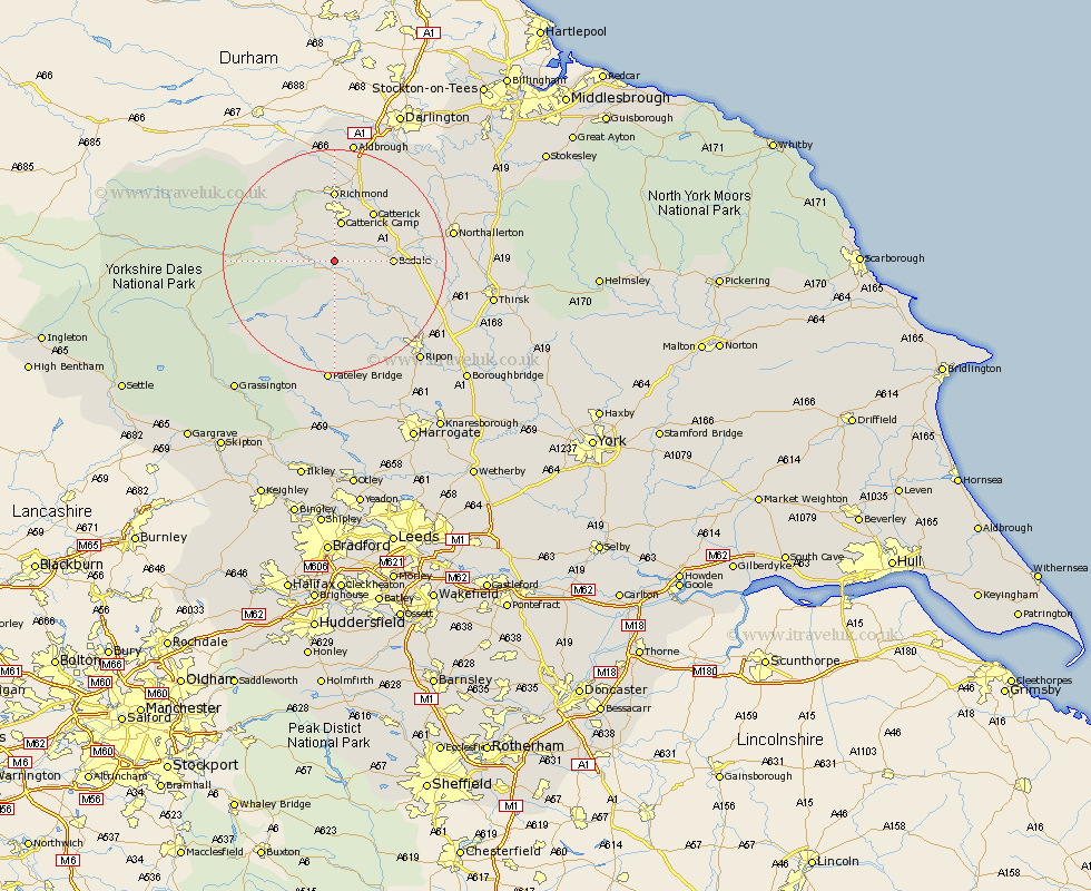
Yorkshire Map Showing Location of Thornton Steward
Population: 174
District: Richmondshire
Easting: 417359 Northing: 487568
Latitude: 54.28 Longitude: -1.73
 = Thornton Steward
District: Richmondshire
Easting: 417359 Northing: 487568
Latitude: 54.28 Longitude: -1.73
= Thornton Steward
This Thornton Steward map below is supplied by Google. Use the tools in the top left corner to zoom into street level or zoom out for a road map, you may also need to zoom in to see Thornton Steward on the map. Click and drag the map to move around. If the map fails to load try and refresh your browser or zoom in or out (+ or -).
Update - it seems Google no longer allow people to use their maps for free! This Thornton Steward map sometimes loads and sometimes gives a error. I am working on a solution.
Closest 30 Towns or Cities to Thornton Steward (Population over 500)
Middleham 5.41km Leyburn 5.72km Crakehall 7.8km Masham 9.17km Bedale 9.74km Catterick 11.31km Grewelthorpe 12.37km Richmond 12.98km Kirkby Malzeard 14.05km Scorton 14.08km West Tanfield 14.25km Tanfield 14.25km Gilling 16.71km Bradley 16.87km North Cowton 17.6km Middleton Tyas 19.31km Cowton 19.7km East Cowton 19.7km Northallerton 20.24km Barton 21.1km Brompton 21.84km Bewerley 22.34km Melsonby 22.47km Ripon 23.28km Topcliffe 25.32km Dishforth 25.37km Dacre 25.96km Monkton 26.93km Bishop Monkton 26.93km Thirsk 27.02km