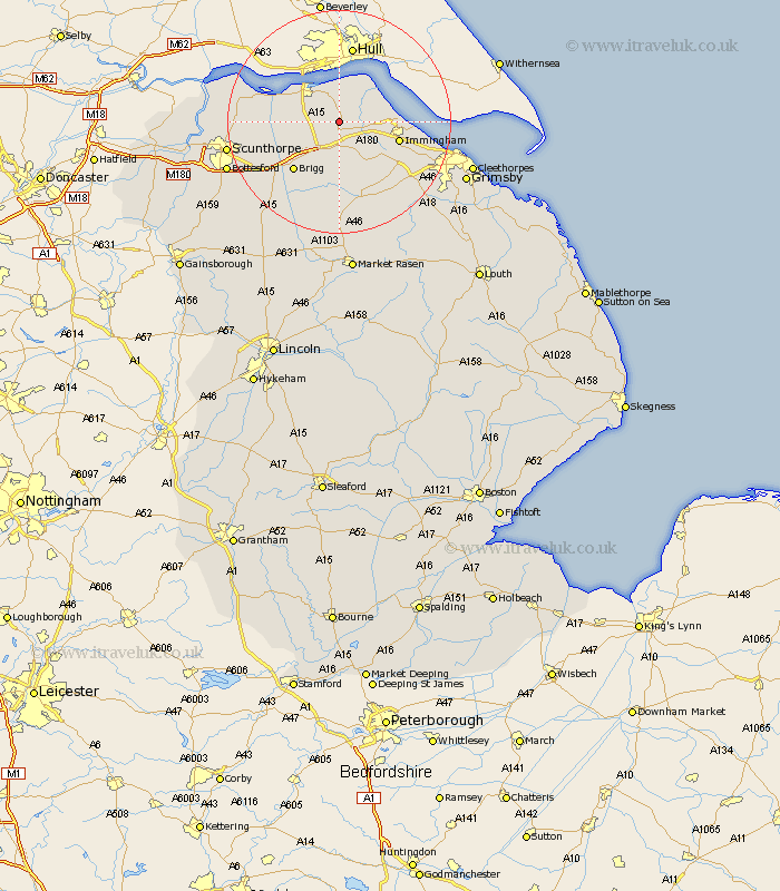
Lincolnshire Map Showing Location of Thornton Curtis
Easting: 507988 Northing: 416462
Latitude: 53.63 Longitude: -0.37
 = Thornton Curtis
Latitude: 53.63 Longitude: -0.37
= Thornton Curtis
This Thornton Curtis map below is supplied by Google. Use the tools in the top left corner to zoom into street level or zoom out for a road map, you may also need to zoom in to see Thornton Curtis on the map. Click and drag the map to move around. If the map fails to load try and refresh your browser or zoom in or out (+ or -).
Update - it seems Google no longer allow people to use their maps for free! This Thornton Curtis map sometimes loads and sometimes gives a error. I am working on a solution.
Closest 30 Towns or Cities to Thornton Curtis (Population over 500)
Ulceby 2.87km Goxhill 4.32km Barrow on Humber 5.67km Barrow upon Humber 5.67km Barrow-on-Humber 5.67km Barrow 5.67km Barrow-upon-Humber 5.67km East Halton 6.63km New Holland 7.42km Barnetby le Wold 7.73km Barnetby 7.73km Habrough 8.54km South Ferriby 9.54km Wrawby 9.92km Immingham 10.56km Keelby 10.68km South Killingholme 11.5km Brigg 12.05km Stallingborough 13.31km Appleby 13.32km Broughton 14.18km Healing 15.13km Winterton 15.49km Scawby 15.64km Winteringham 16.35km Nettleton 17km Caistor 17km North Kelsey 17km Laceby 17.26km Hibaldstow 18.46km