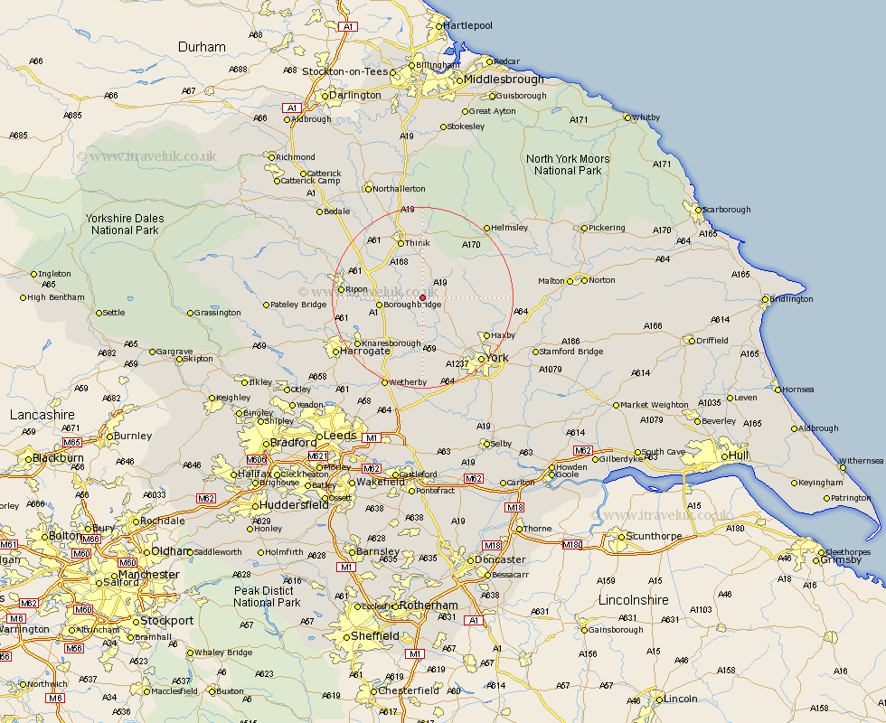
Yorkshire Map Showing Location of Tholthorpe
Population: 269
District: Hambleton
Easting: 447949 Northing: 467391
Latitude: 54.1 Longitude: -1.27
 = Tholthorpe
District: Hambleton
Easting: 447949 Northing: 467391
Latitude: 54.1 Longitude: -1.27
= Tholthorpe
This Tholthorpe map below is supplied by Google. Use the tools in the top left corner to zoom into street level or zoom out for a road map, you may also need to zoom in to see Tholthorpe on the map. Click and drag the map to move around. If the map fails to load try and refresh your browser or zoom in or out (+ or -).
Update - it seems Google no longer allow people to use their maps for free! This Tholthorpe map sometimes loads and sometimes gives a error. I am working on a solution.
Closest 30 Towns or Cities to Tholthorpe (Population over 500)
Alne 2.86km Raskelf 3.86km Easingwold 4.73km Tollerton 4.93km Ouseburn 6.45km Great Ouseburn 6.45km Linton 7.5km Linton-on-Ouse 7.5km Linton on Ouse 7.5km Linton upon Ouse 7.5km Marton 7.5km Marton le Moor 7.5km Newton upon Ouse 8.1km Newton 8.1km Boroughbridge 8.89km Huby 8.89km Stillington 9.78km Whixley 9.82km Shipton 10.63km Dishforth 11.25km Green Hammerton 11.33km Topcliffe 11.98km Kirk Hammerton 13.16km Hammerton 13.16km Thirsk 13.68km Skelton 14.12km Ampleforth 14.8km Bishop Monkton 15.33km Monkton 15.33km Burton Leonard 15.66km