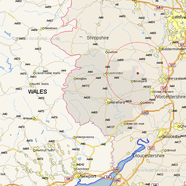
Herefordshire Map Showing Location of Tedstone Delamere
Population: 142
Easting: 369271 Northing: 259595
Latitude: 52.23 Longitude: -2.45
 = Tedstone Delamere
Easting: 369271 Northing: 259595
Latitude: 52.23 Longitude: -2.45
= Tedstone Delamere
This Tedstone Delamere map below is supplied by Google. Use the tools in the top left corner to zoom into street level or zoom out for a road map, you may also need to zoom in to see Tedstone Delamere on the map. Click and drag the map to move around. If the map fails to load try and refresh your browser or zoom in or out (+ or -).
Update - it seems Google no longer allow people to use their maps for free! This Tedstone Delamere map sometimes loads and sometimes gives a error. I am working on a solution.
Closest 30 Towns or Cities to Tedstone Delamere (Population over 500)
Whitbourne 3.87km Bromyard 6.52km Bosbury 16.68km Cradley 16.97km Colwall 17.29km Bodenham 18.41km Brimfield 18.56km Leominster 19.3km Withington 19.39km Ledbury 20.51km Luston 20.76km Orleton 21.72km Sutton 21.75km Lugwardine 23.01km Wellington 23.28km Kingsland 23.9km Mordiford 23.92km Moreton-on-Lugg 24.35km Moreton on Lugg 24.35km Moreton 24.35km Croft 24.46km Much Marcle 26.17km Burghill 26.19km Eardisland 27.31km Hereford 27.32km Fownhope 27.89km Credenhill 28.1km Shobdon 28.43km Bullingham 28.74km Wigmore 28.75km