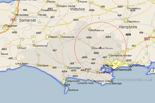
Dorset Map Showing Location of Tarrant Monkton
Population: 2370
District: North Dorset
Easting: 394136 Northing: 107531
Latitude: 50.87 Longitude: -2.08
 = Tarrant Monkton
District: North Dorset
Easting: 394136 Northing: 107531
Latitude: 50.87 Longitude: -2.08
= Tarrant Monkton
This Tarrant Monkton map below is supplied by Google. Use the tools in the top left corner to zoom into street level or zoom out for a road map, you may also need to zoom in to see Tarrant Monkton on the map. Click and drag the map to move around. If the map fails to load try and refresh your browser or zoom in or out (+ or -).
Update - it seems Google no longer allow people to use their maps for free! This Tarrant Monkton map sometimes loads and sometimes gives a error. I am working on a solution.
Closest 30 Towns or Cities to Tarrant Monkton (Population over 500)
Pimperne 3.96km Blandford 5.85km Blandford Forum 5.85km Spetisbury 6.03km Stourpaine 8.39km Sturminster Marshall 9.35km Wimborne Minster 9.44km Wimborne 9.44km Horton 9.54km Corfe Mullen 9.92km Iwerne Minster 10.2km Handley 10.95km Stickland Winterborne 11.17km Winterborne Stickland 11.17km Fontmell Magna 11.62km Child Okeford 11.9km Cranborne 12.26km Shillingstone 12.26km Whitechurch 12.88km Lytchett Matravers 13.03km Charlton 13.43km Winterborne Kingston 13.81km West Moors 14.02km Sturminster Newton 15.09km Verwood 15.2km Milton Abbas 15.88km Bere Regis 16.01km Holton Heath Station 16.68km Holton Heath 16.68km St Leonards 16.8km