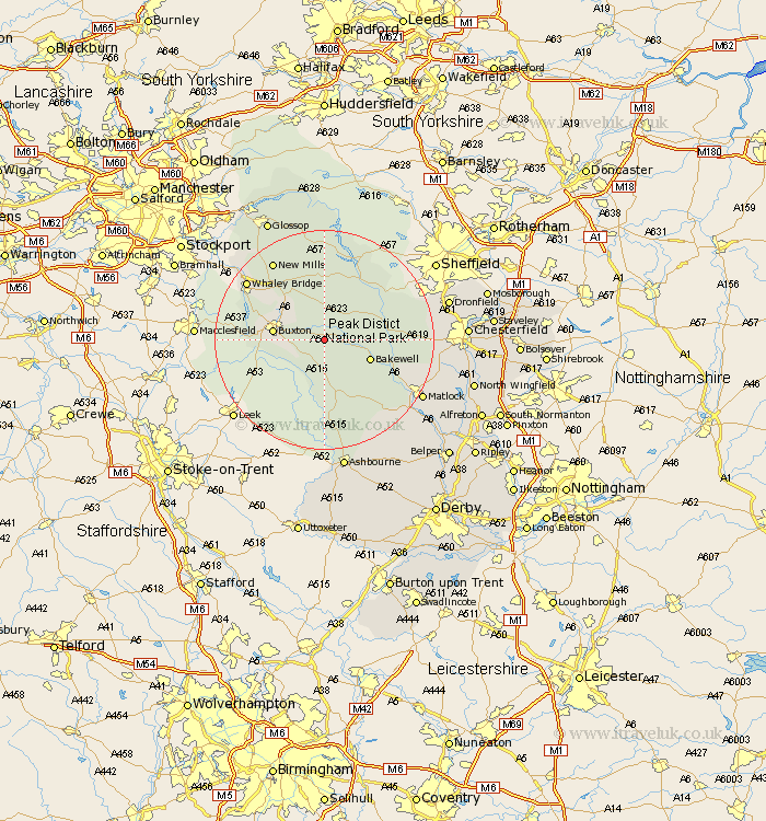
Derbyshire Map Showing Location of Taddington
Population: 443
District: Derbyshire Dales
Easting: 414460 Northing: 370749
Latitude: 53.23 Longitude: -1.78
 = Taddington
District: Derbyshire Dales
Easting: 414460 Northing: 370749
Latitude: 53.23 Longitude: -1.78
= Taddington
This Taddington map below is supplied by Google. Use the tools in the top left corner to zoom into street level or zoom out for a road map, you may also need to zoom in to see Taddington on the map. Click and drag the map to move around. If the map fails to load try and refresh your browser or zoom in or out (+ or -).
Update - it seems Google no longer allow people to use their maps for free! This Taddington map sometimes loads and sometimes gives a error. I am working on a solution.
Closest 30 Towns or Cities to Taddington (Population over 500)
Tideswell 3.87km Longstone 5.55km Great Longstone 5.55km Bakewell 8.61km Middleton 8.64km Buxton 9.06km Youlgreave 9.26km Bradwell 9.53km Eyam 9.55km Stoney Middleton 9.62km Stony Middleton 9.62km Baslow 11.09km Castleton 11.18km Grindleford 11.42km Grindleford Bridge 11.42km Chapel en le Frith 12.09km Hathersage 12.83km Hope 13.16km Winster 14.23km Darley Dale 14.28km Bamford 14.58km New Mills 17.28km Whaley Bridge 17.33km Holmesfield 18.59km Bonsall 18.6km Brampton 18.86km Old Brampton 18.86km Brassington 18.9km Hayfield 20.02km Matlock 20.03km