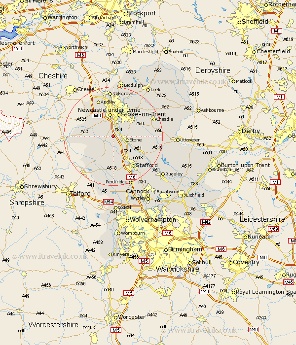
Staffordshire Map Showing Location of Swinnerton
Population: 4233
District: Stafford
Easting: 385432 Northing: 335532
Latitude: 52.92 Longitude: -2.22
 = Swinnerton
District: Stafford
Easting: 385432 Northing: 335532
Latitude: 52.92 Longitude: -2.22
= Swinnerton
This Swinnerton map below is supplied by Google. Use the tools in the top left corner to zoom into street level or zoom out for a road map, you may also need to zoom in to see Swinnerton on the map. Click and drag the map to move around. If the map fails to load try and refresh your browser or zoom in or out (+ or -).
Update - it seems Google no longer allow people to use their maps for free! This Swinnerton map sometimes loads and sometimes gives a error. I am working on a solution.
Closest 30 Towns or Cities to Swinnerton (Population over 500)
Standon 4.47km Barlaston 4.99km Stone 5.89km Whitmore 7.13km Eccleshall 7.75km Hilderstone 8.94km Newcastle-under-Lyme 9.33km Newcastle under Lyme 9.33km Stoke-on-Trent 9.53km Stoke on Trent 9.53km Stoke-upon-Trent 9.53km Stoke 9.53km Stoke upon Trent 9.53km Keele 10.28km Fulford 10.71km Seighford 11.34km Silverdale 11.98km Madeley 12.12km High Offley 12.14km Hopton 12.14km Caverswall 12.48km Adbaston 12.88km Draycott 13.48km Draycott in the Moors 13.48km Haughton 14.88km Gnossall 15km Gnosall 15km Stafford 15.16km Audley 15.84km Weston upon Trent 16.31km