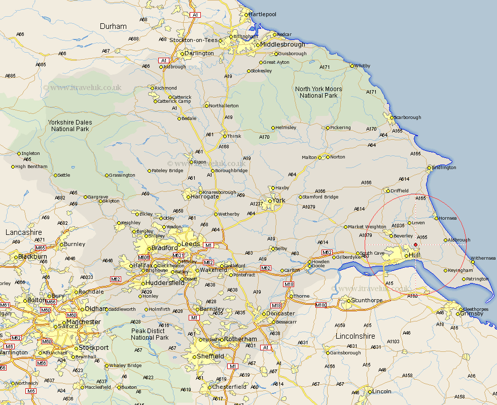
Yorkshire Map Showing Location of Swine
Population: 143
Easting: 513049 Northing: 435134
Latitude: 53.8 Longitude: -0.28
 = Swine
Easting: 513049 Northing: 435134
Latitude: 53.8 Longitude: -0.28
= Swine
This Swine map below is supplied by Google. Use the tools in the top left corner to zoom into street level or zoom out for a road map, you may also need to zoom in to see Swine on the map. Click and drag the map to move around. If the map fails to load try and refresh your browser or zoom in or out (+ or -).
Update - it seems Google no longer allow people to use their maps for free! This Swine map sometimes loads and sometimes gives a error. I am working on a solution.
Closest 30 Towns or Cities to Swine (Population over 500)
Skirlaugh Station 2.87km Sutton on Hull 2.87km Sutton-on-Hull 2.87km Sutton 2.87km Wawne 4.38km Hull 5.83km Preston 6.61km Woodmansey 6.82km Sproatley 6.83km Cottingham 6.83km Beverley 9.5km Leven 9.52km Paull 9.83km Kingston upon Hull 9.83km Tickton 9.9km Hedon 9.91km Aldbrough 11.1km Willerby 11.56km Thorngumbold 12.02km Thorngumbald 12.02km Skidby 12.18km Kirk Ella 12.28km Anlaby 12.33km Burstwick 12.34km Burton Pidsea 12.6km Brandsburton 13.02km Brandesburton 13.02km Leckonfield 13.21km Leconfield 13.21km Hornsea 13.5km