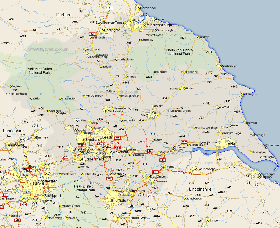
Yorkshire Map Showing Location of Swillington
Population: 3296
Area Size (ha): 61
District: Leeds
Easting: 438446 Northing: 430221
Latitude: 53.77 Longitude: -1.42
 = Swillington
Area Size (ha): 61
District: Leeds
Easting: 438446 Northing: 430221
Latitude: 53.77 Longitude: -1.42
= Swillington
This Swillington map below is supplied by Google. Use the tools in the top left corner to zoom into street level or zoom out for a road map, you may also need to zoom in to see Swillington on the map. Click and drag the map to move around. If the map fails to load try and refresh your browser or zoom in or out (+ or -).
Update - it seems Google no longer allow people to use their maps for free! This Swillington map sometimes loads and sometimes gives a error. I am working on a solution.
Closest 30 Towns or Cities to Swillington (Population over 500)
Garforth 2.86km Kippax 3.29km Rothwell 4.76km Scholes 5.56km Micklefield 6.61km Lofthouse 6.62km Castleford 7.08km Normanton 7.42km Aberford 7.8km Featherstone 8.11km Stanley 8.62km Wakefield 8.62km Thorner 9.26km South Milford 10.95km Brotherton 11.32km Scarcroft 11.33km Leeds 11.56km Sherburn in Elmet 11.56km Sherburn 11.56km Morley 11.57km Pontefract 12.04km Monk Fryston 12.19km East Keswick 12.85km Crofton 12.98km Bardsey 13.01km Bramham 13.68km Ackworth Moor Top 14.09km High Ackworth 14.09km Ackworth 14.09km Knottingley 14.16km