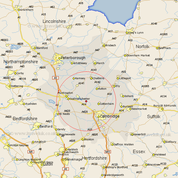
Cambridgeshire Map Showing Location of Swavesey
Population: 2480
District: South Cambridgeshire
Easting: 536361 Northing: 268801
Latitude: 52.3 Longitude: -0
 = Swavesey
District: South Cambridgeshire
Easting: 536361 Northing: 268801
Latitude: 52.3 Longitude: -0
= Swavesey
This Swavesey map below is supplied by Google. Use the tools in the top left corner to zoom into street level or zoom out for a road map, you may also need to zoom in to see Swavesey on the map. Click and drag the map to move around. If the map fails to load try and refresh your browser or zoom in or out (+ or -).
Update - it seems Google no longer allow people to use their maps for free! This Swavesey map sometimes loads and sometimes gives a error. I am working on a solution.
Closest 30 Towns or Cities to Swavesey (Population over 500)
Needingworth 2.18km Over 2.18km Long Stanton 3.87km St Ives 4.53km Saint Ives 4.53km St. Ives 4.53km Fen Stanton 4.53km Willingham 4.9km Bluntisham 5.67km Earith 5.67km Oakington 5.85km Hemingford Abbots 7.05km West Hemingford 7.05km Elsworth 7.18km Colne 7.5km Hilton 7.74km Dry Drayton 7.76km Hemingford 8.15km Hemingford Grey 8.15km Cottenham 8.15km Wyton 8.75km Histon 8.79km Somersham 9.26km Girton 9.34km Papworth 10.86km Papworth Everard 10.86km Hardwick 11.18km Hardwicke 11.18km Durolipons 11.48km Godmanchester 11.48km