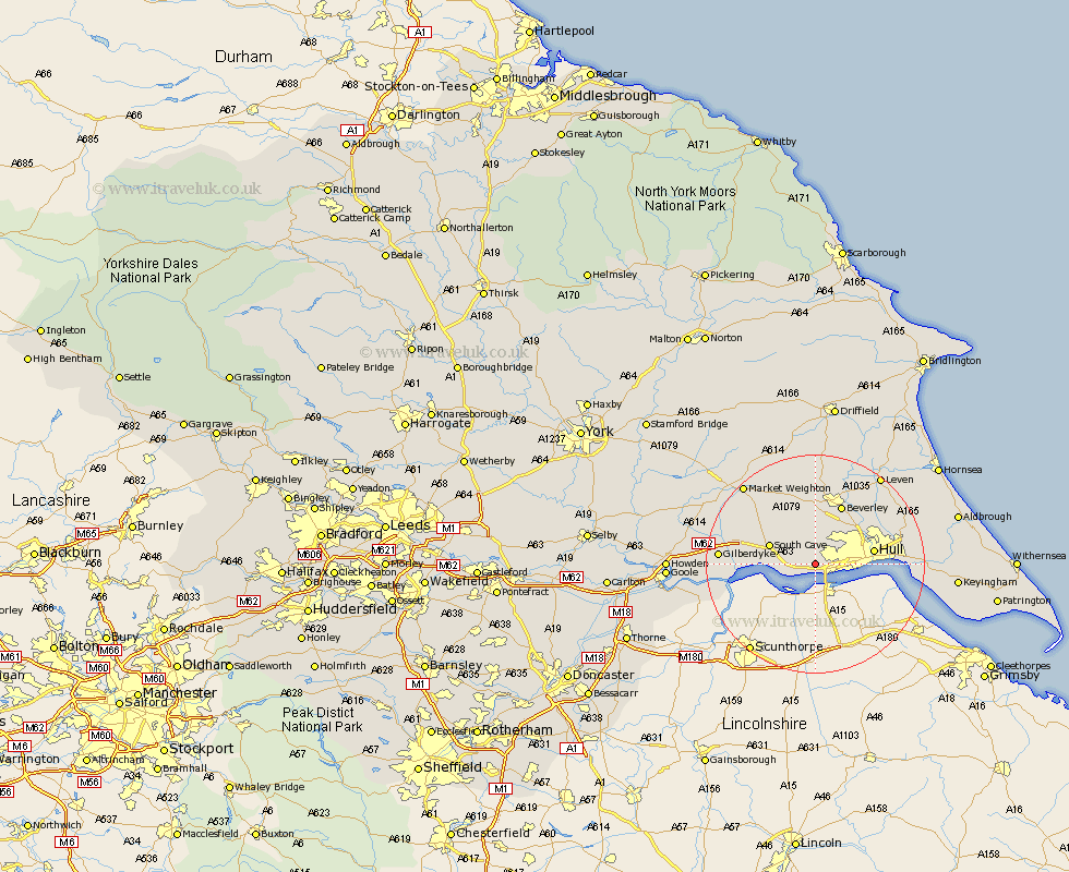
Yorkshire Map Showing Location of Swanland
Population: 3070
Area Size (ha): 129
Easting: 500038 Northing: 427415
Latitude: 53.73 Longitude: -0.48
 = Swanland
Area Size (ha): 129
Easting: 500038 Northing: 427415
Latitude: 53.73 Longitude: -0.48
= Swanland
This Swanland map below is supplied by Google. Use the tools in the top left corner to zoom into street level or zoom out for a road map, you may also need to zoom in to see Swanland on the map. Click and drag the map to move around. If the map fails to load try and refresh your browser or zoom in or out (+ or -).
Update - it seems Google no longer allow people to use their maps for free! This Swanland map sometimes loads and sometimes gives a error. I am working on a solution.
Closest 30 Towns or Cities to Swanland (Population over 500)
Ferriby 2.15km North Ferriby 2.15km Kirk Ella 2.87km Anlaby 3.29km Hessle 3.77km Willerby 4.31km Welton 5.48km Skidby 5.67km Barton 6.46km Barton upon Humber 6.46km Brough 7.55km South Cave 8.52km Cottingham 8.61km Newport 10.04km Kingston upon Hull 10.04km Hull 10.2km Bishop Burton 11.17km Woodmansey 11.36km Wawne 11.48km North Cave 11.57km Beverley 11.95km Sutton on Hull 12.29km Sutton-on-Hull 12.29km Sutton 12.29km Cherry Burton 14.87km Leckonfield 14.99km Leconfield 14.99km Tickton 16.22km Paull 16.55km Skirlaugh Station 17.92km