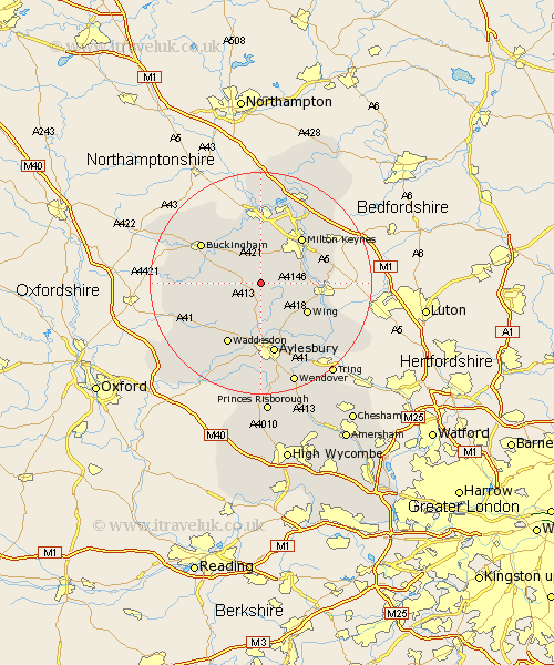
Buckinghamshire Map Showing Location of Swanbourne
Population: 466
District: Aylesbury Vale
Easting: 480202 Northing: 226778
Latitude: 51.93 Longitude: -0.83
 = Swanbourne
District: Aylesbury Vale
Easting: 480202 Northing: 226778
Latitude: 51.93 Longitude: -0.83
= Swanbourne
This Swanbourne map below is supplied by Google. Use the tools in the top left corner to zoom into street level or zoom out for a road map, you may also need to zoom in to see Swanbourne on the map. Click and drag the map to move around. If the map fails to load try and refresh your browser or zoom in or out (+ or -).
Update - it seems Google no longer allow people to use their maps for free! This Swanbourne map sometimes loads and sometimes gives a error. I am working on a solution.
Closest 30 Towns or Cities to Swanbourne (Population over 500)
Mursley 1.14km Winslow 2.94km Great Horwood 4.36km Whitchurch 5.56km Whitechurch 5.56km Newton Longville 5.89km Stewkley 6km North Marston 6.01km Thornborough 7.97km Soulbury 8km Stoke Hammond 8.21km Shenley Brook End 8.71km Padbury 8.82km Bletchley 8.82km Quainton 9.36km Wing 9.74km Shenley 9.88km Shenley Church End 9.88km Steeple Claydon 10.28km Claydon 10.28km Great Brickhill 10.45km Milton Keynes 11.11km Bradwell 11.64km Maids Moreton 11.77km Gawcott 12.01km Waddesdon 12.5km Buckingham 12.67km Bow Brickhill 12.7km Simpson 13.02km Stony Stratford 13.03km