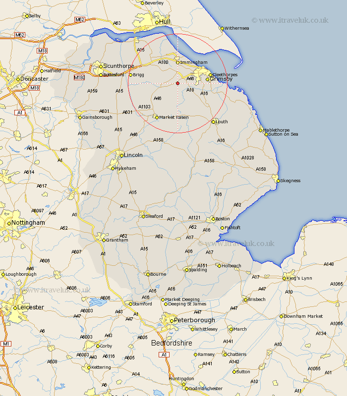
Lincolnshire Map Showing Location of Swallow
Population: 200
District: West Lindsey
Easting: 518229 Northing: 403731
Latitude: 53.52 Longitude: -0.22
 = Swallow
District: West Lindsey
Easting: 518229 Northing: 403731
Latitude: 53.52 Longitude: -0.22
= Swallow
This Swallow map below is supplied by Google. Use the tools in the top left corner to zoom into street level or zoom out for a road map, you may also need to zoom in to see Swallow on the map. Click and drag the map to move around. If the map fails to load try and refresh your browser or zoom in or out (+ or -).
Update - it seems Google no longer allow people to use their maps for free! This Swallow map sometimes loads and sometimes gives a error. I am working on a solution.
Closest 30 Towns or Cities to Swallow (Population over 500)
Laceby 3.79km South Killingholme 5.67km Keelby 5.98km Healing 6.47km Caistor 7.58km Nettleton 7.58km Waltham 7.71km Stallingborough 7.73km Immingham 9.26km Habrough 9.52km binbrook 9.53km Holton le Clay 9.92km Great Coates 10.42km Great Grimsby 11.17km Grimsby 11.17km Humberston 12.26km Humberstone 12.26km North Thoresby 12.35km Cleethorpes 12.67km Barnetby le Wold 13.33km Barnetby 13.33km Ulceby 13.53km Tetney 13.74km North Kelsey 13.74km Fulstow 15.17km South Kelsey 15.37km Market Rasen 16.72km East Halton 17.25km Wrawby 17.43km North Coates 17.45km