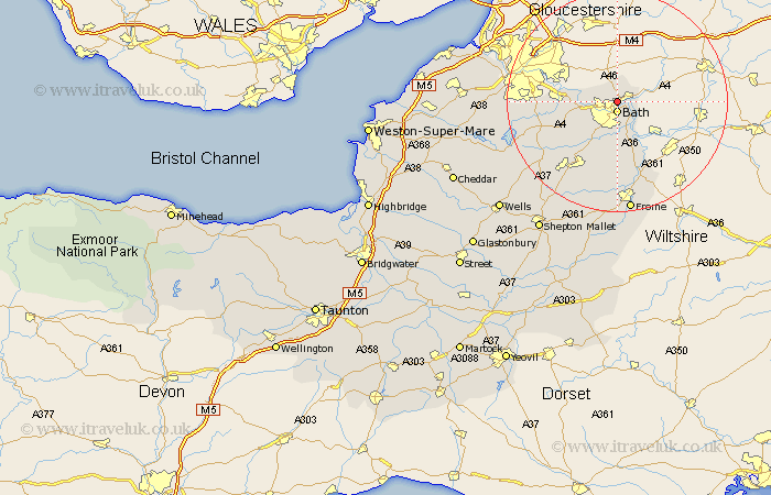
Somerset Map Showing Location of Swainswick
Population: 284
Easting: 375654 Northing: 166887
Latitude: 51.4 Longitude: -2.35
 = Swainswick
Easting: 375654 Northing: 166887
Latitude: 51.4 Longitude: -2.35
= Swainswick
This Swainswick map below is supplied by Google. Use the tools in the top left corner to zoom into street level or zoom out for a road map, you may also need to zoom in to see Swainswick on the map. Click and drag the map to move around. If the map fails to load try and refresh your browser or zoom in or out (+ or -).
Update - it seems Google no longer allow people to use their maps for free! This Swainswick map sometimes loads and sometimes gives a error. I am working on a solution.
Closest 30 Towns or Cities to Swainswick (Population over 500)
Bath 1.86km Batheaston 2.31km Bathampton 2.97km Bathford 3.47km Saltford 6.94km Freshford 8.19km Wellow 9.55km Keynsham 10.41km Norton St Philip 11.18km Norton Saint Philip 11.18km Norton St. Philip 11.18km Camerton 11.58km Compton Dando 11.71km Farmboro 12.78km Farmborough 12.78km Timsbury 13.1km Publow 13.25km Road 13.78km Rode 13.78km Temple Cloud 14.38km Clutton 14.73km Whitchurch 15.03km Paulton 15.24km Beckington 15.53km Kilmersden 15.91km Kilmersdon 15.91km Stratton on the Fosse 18.12km Stratton-on-the-Fosse 18.12km Stratton 18.12km Chilcompton 18.12km