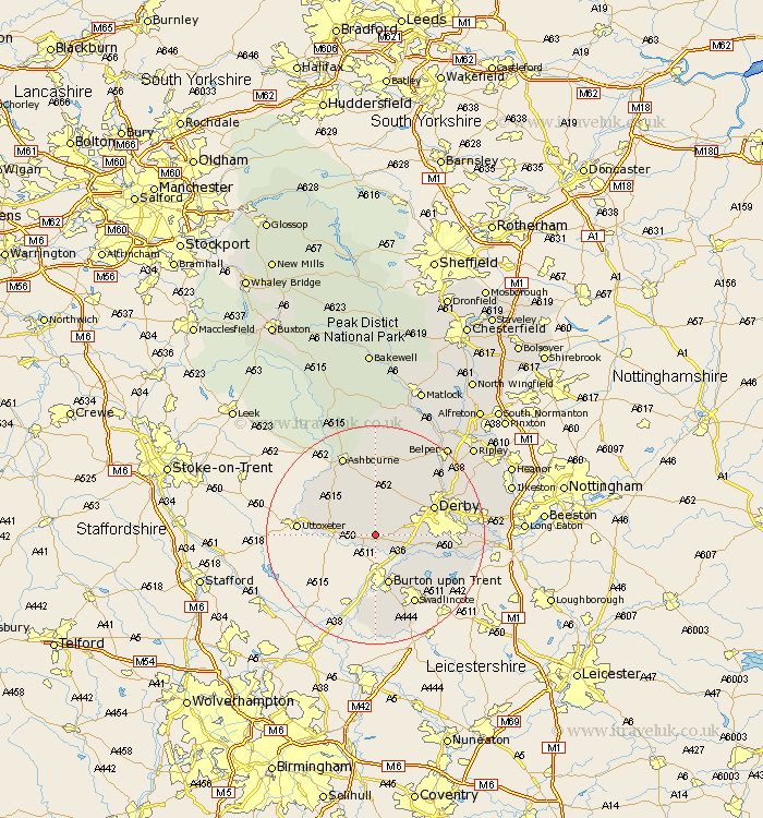
Derbyshire Map Showing Location of Sutton
Population: 127
District: South Derbyshire
Easting: 423549 Northing: 331853
Latitude: 52.88 Longitude: -1.65
 = Sutton
District: South Derbyshire
Easting: 423549 Northing: 331853
Latitude: 52.88 Longitude: -1.65
= Sutton
This Sutton map below is supplied by Google. Use the tools in the top left corner to zoom into street level or zoom out for a road map, you may also need to zoom in to see Sutton on the map. Click and drag the map to move around. If the map fails to load try and refresh your browser or zoom in or out (+ or -).
Update - it seems Google no longer allow people to use their maps for free! This Sutton map sometimes loads and sometimes gives a error. I am working on a solution.
Closest 30 Towns or Cities to Sutton (Population over 500)
Church Broughton 3.35km Etwall 3.83km Burnaston 5.59km Scropton 5.81km Egginton 6.49km Sudbury 6.96km Brailsford 7.75km Kirk Langley 7.88km Newton Solney 8.65km Findern 8.66km Willington 8.72km Repton 8.72km Burton-on-Trent 9.53km Burton on Trent 9.53km Burton upon Trent 9.53km Doveridge 11.33km Derby 11.49km Bretby 11.99km Quarndon 12.5km Breadsall 14.52km Duffield 14.52km Ticknall 14.53km Swadlincote 14.6km Clifton 14.6km Walton 14.99km Walton upon Trent 14.99km Walton-on-Trent 14.99km Walton on Trent 14.99km Little Eaton 15.32km Barton 15.49km